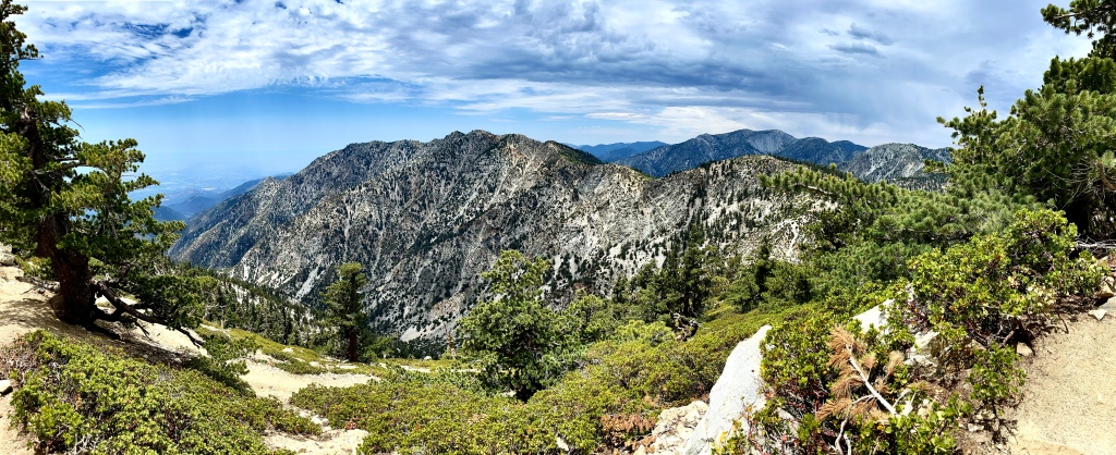
Tag Archives: California

Etiwanda Falls Trail

NORTH ETIWANDA PRESERVE

NEAR RANCHO CUCAMONGA

Activity: Day Hike, Chasing Waterfalls

3.5 miles, 800′ elevation gain, 2 hour duration, rated Moderate

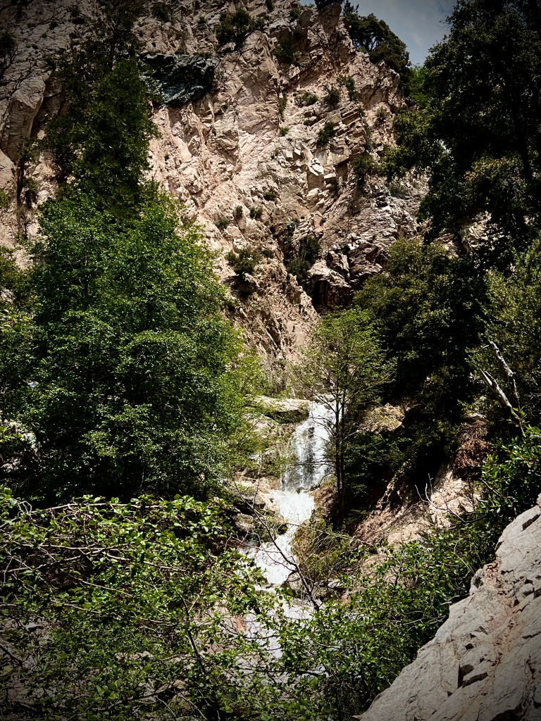
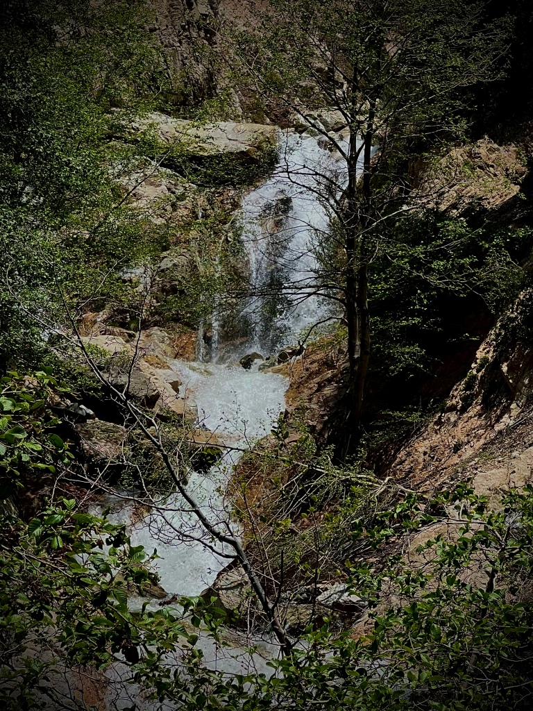
It’s a steady climb up the foothills towards the mountain.  The hike is straight forward through green hills with the snow capped mountains beckoning, shinning brightly, just beyond. Upon arriving at Etiwanda Falls I discovered that it does not show off as much as other falls.  Only the top portion of it is visible as there is a steep canyon that twists just out of sight.  The only way to view beyond the first two drops would be either via rock climbing harness repelling over the side or maybe a drone.

That being said what is visible is still pretty special.  The winter storms brought plenty of rain and snow, feeding the falls in the most glorious way.  Etiwanda Falls is quite a picturesque setting.  The streams feed it in a broad area adorned with trees and rocks. It really is exquisite.  I did attempt to see more of the falls, but without much success as even spots that a glimpse might be possible it is more or less blocked by the steep canyon walls, trees and brush. 

Always yearning to see what is just beyond I continued passed Etiwanda Falls following the left fork.  What I experienced was a lovely journey along the following stream with only trees and the sound of the rushing water.  It was a beautiful trek to a smaller falls, very calming and delightful.   

I made my way back along the babbling brook to Etiwanda Falls and then headed up the right fork.  There was a good amount of rock hopping involved with multiple crossing to be maneuvered.  My journey up the two different forks of the stream added an additional mile and a half to the hike and a couple hundred extra feet in elevation, but was thoroughly enjoyable.  I will concede that some of that 1.5 extra miles was me walking around in circles trying to find the best way across a couple difficult crossing not wanting to get my feet wet.   The furthest part of my hike did bring me to traces of snow even at these lower elevations.  

There was some graffiti which I absolutely deplore.   If I hear that there is a lot of graffiti I just mark that hike off of my list.  The further I went off the beaten path the more prevalent it became.  I suppose with less people around taggers and gang members can do their evil deeds ruining nature for everyone.   In my pictures and video I did the best I could to avoid the sad sight.  Luckily around Etiwanda Falls itself, where there would be people, it wasn’t too bad. 

Even for a Friday there were a good amount of people on the hike.  My understanding is that ramps up to crowded on the weekends.  There is a descent sized dirt parking lot that on the weekends does fill up.  It costs $3 for half day.  

Pursuing Balance Through Adventure
YouTube Channel
Etiwanda Falls
(The only way to see a waterfall is in motion)
CLICK THE PIC!
“A waterfall cannot be silent, just as the wisdom! When they speak, the voice of power speaks!” -Mehmet Murat Ildan

Thanks for joining me ‘Pursuing Balance Through Adventure’ in the foothills leading up to a beautiful flowing waterfall. The sound of the crashing water is always so wonderful and does so much to bring life into Balance… Thank you Nature! Stay tuned for more by doing a few easy things: COMMENT, LIKE, FOLLOW and SHARE. The menu above will show many or the areas that PBTA travels to in order to bring ideas of adventure to you when you are planning your next outing in Nature. The menu is categorized mostly by location. Each is a separate website and thus needs to be FOLLOWED independently. If you like the cap I am wearing they are available at my Adventure Wear site: SHOP APPAREL.

Happy Trails-

Roger Jenkins

Pursuing Balance Through Adventure

Champion Lodgepole via Castle Rock Trail

SAN BERNARDINO NATIONAL FOREST

BIG BEAR LAKE

Activity: Snow Hiking

5 miles, 950′ elevation gain, 5 hour duration, rated Moderate

Date: 2-10-23

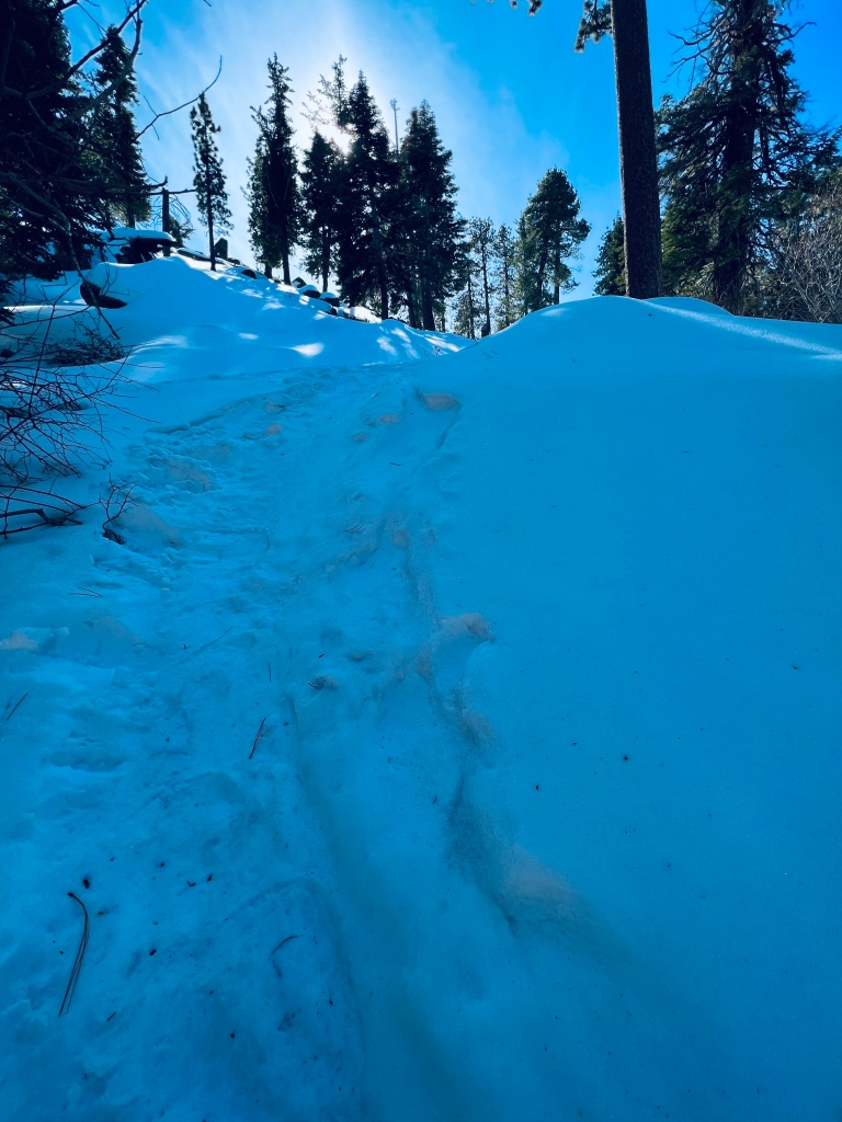
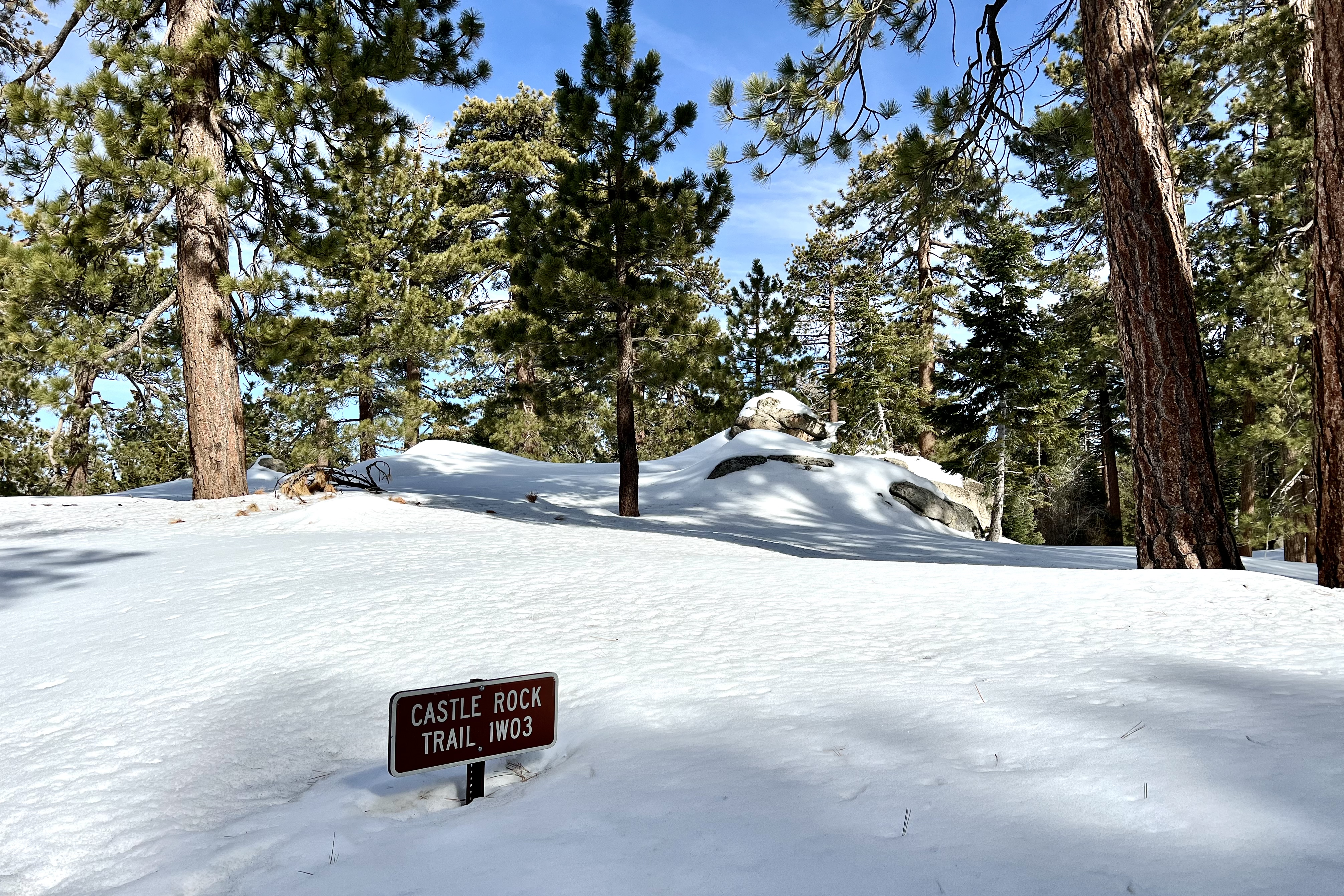
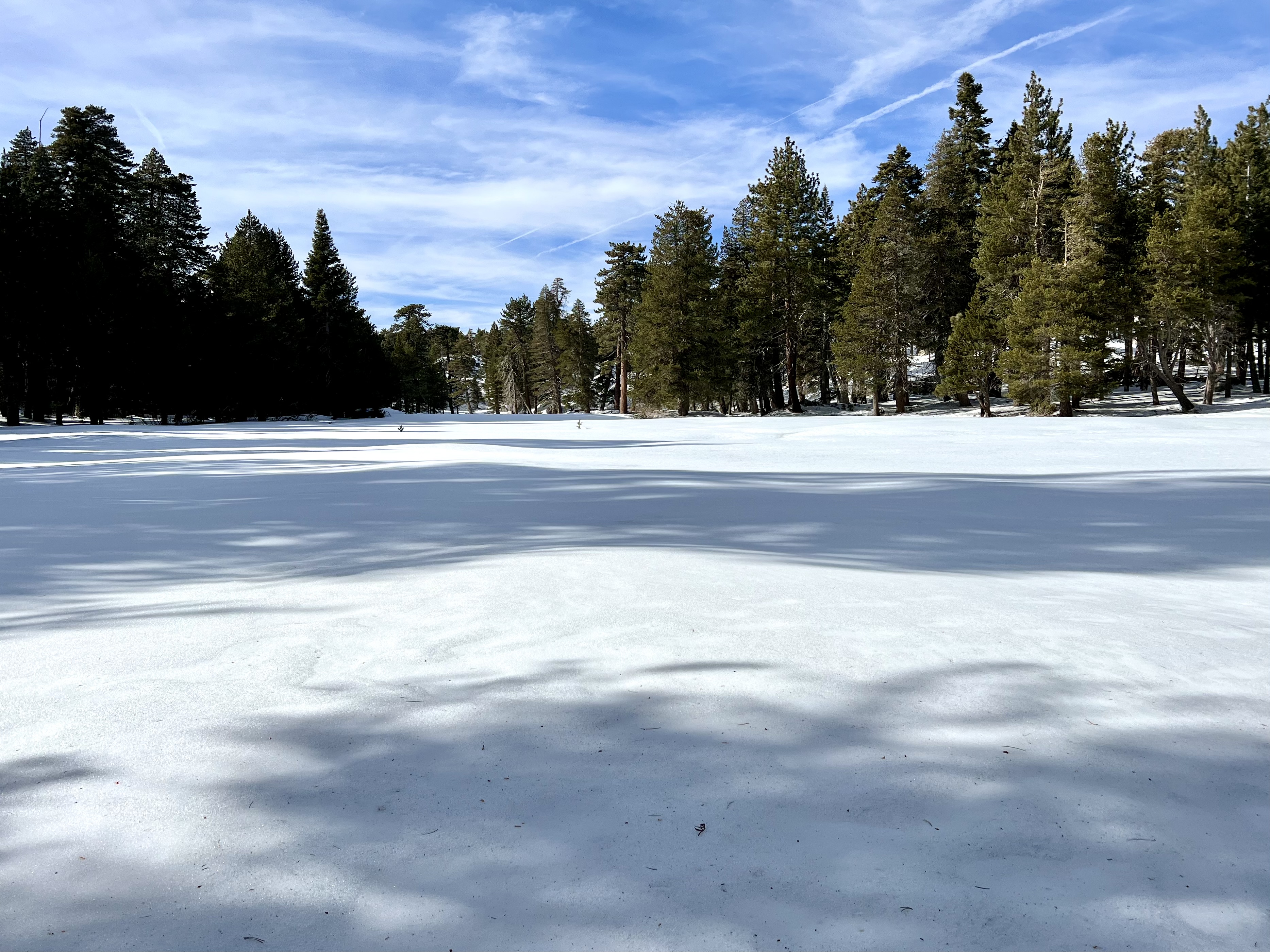
What might be a moderate hike in the Summer should be considered a level up when it is covered in snow. In the Winter be well prepared with waterproof high top hiking boots, micro spikes, trekking poles, and a GPS. The first part of my hike, the popular Castle Rock Trail, wasn’t popular on this day as I had the entire area to myself. There were tracks to follow, but the further I went the fainter they were until at the furthest back portion of the Champion Lodgepole area there were none. No footprints, no trail, nothing but snow. I even missed the Lodgepole Champion Tree, 440 years old, the namesake of the hike. I saw some beautiful trees but missed the Grand Daddy. With no trail and only snow, I was off the GPS Track at that point. I discovered this later as I went back and compared the map to my trek.

From the moment I started the hike it was steep and slippery. The equipment I described was a must as it was a great day, but a little sketchy in places. The snow was beautiful, the trees, and rocks filled my spirit. I had not snow hiked in awhile and I had not hiked in the Big Bear Lake area in too long. The hike was magnificent!

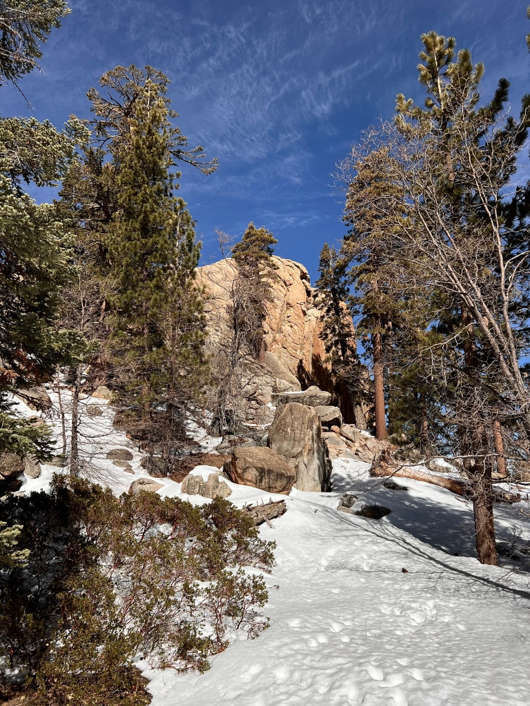
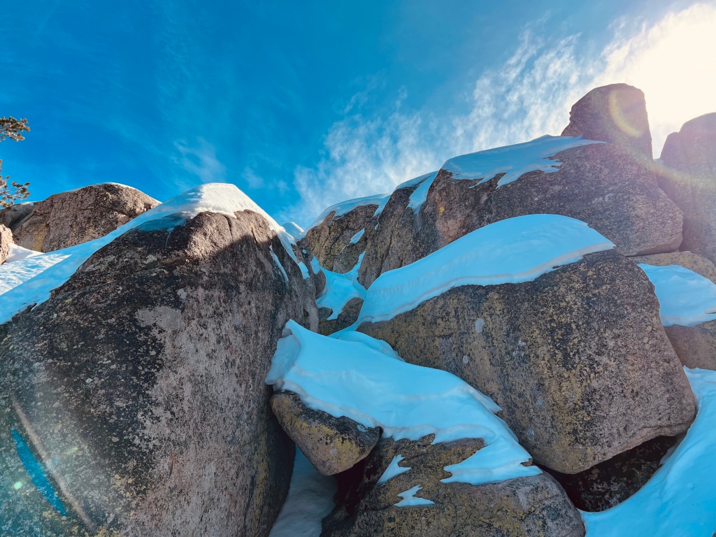
Castle Rock, this big gorgeous hunk of rock, stood majestically above the forest floor. I am not sure if people stand on the top. It appeared that it would take rock climbing skills and certainly was not on my radar covered in snow and ice.

Big Bear Lake from Castle Rock

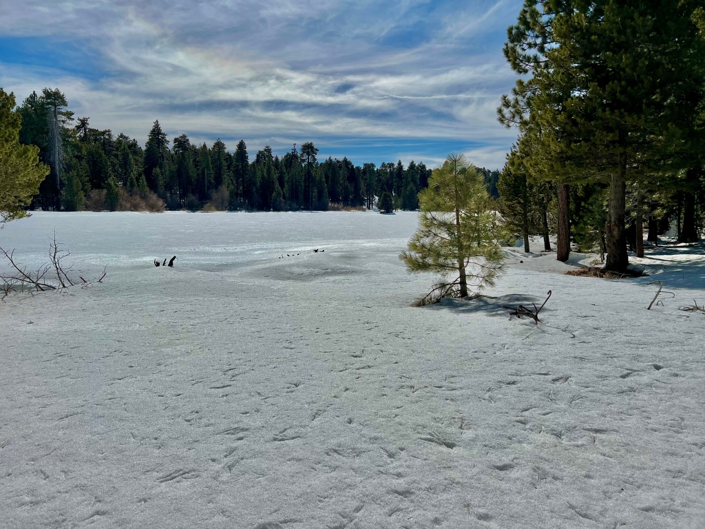
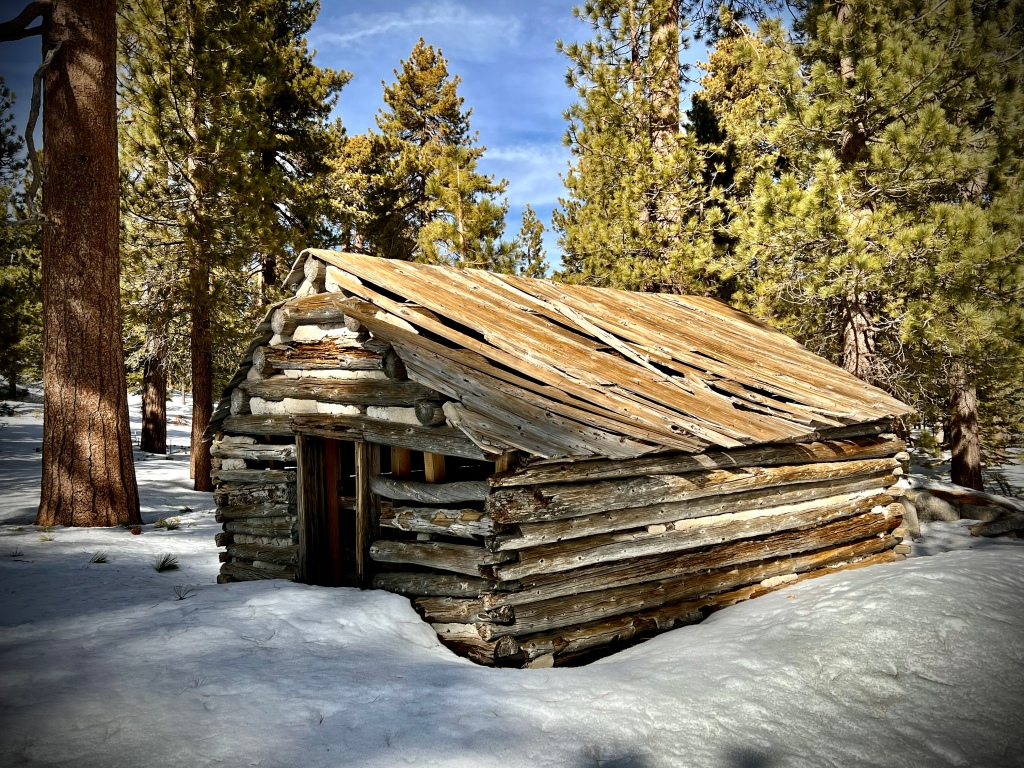
I arrived at Bluff Lake. It was frozen and covered in snow. Beside it was an enchanting old cabin and some ruins not far from the cabin. From the lack of footprints in the snow I could tell no one had been to this lonely spot in awhile as I started out on the back loop portion of my outing. I was careful not to get too close to the lake. I certainly did not want to go through the ice. To continue on I needed to either cross a semi frozen bog or duck through a tangle of brush. Not wanting to chance getting wet feet at the furthest point of my snowy travels I opted for the second choice.

The backside of the loop where no one had been recently was just snow, rocks and trees- no trail only my GPS so I traveled through this area picking whatever looked like a good course. The result was unfortunately I missed the Champion Lodgepole Tree, perhaps I will need to come back in the Summer.

Pursuing Balance Through Adventure YouTube Channel
Snow Hiking

Champion Lodgepole via Castle Rock Trail
CLICK THE PIC
Mountains are like meditation for me, there is just a different energy from it.  

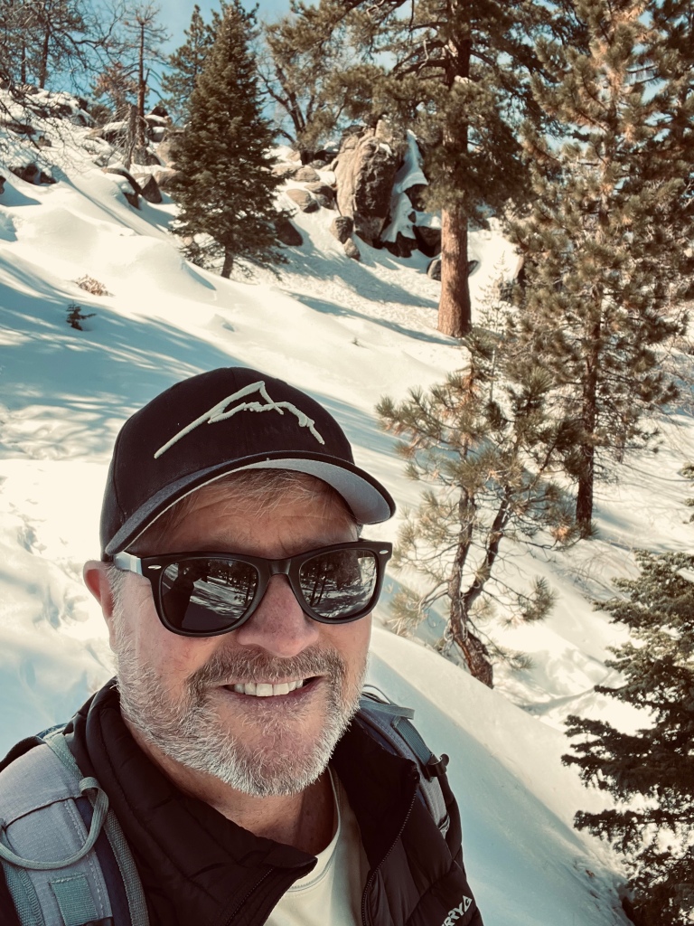
Thanks for trekking with me on this wonderful wintery adventure in the snow as I found myself ‘Pursuing Balance Through Adventure’. Such journeys are not just for the mind and body, but indeed feed the soul. For more stories and recommendation of hikes I invite you to the menu above. It is categorized by location and in some cases activity. Each is a separate website and thus needs to be FOLLOWED independently. To make sure that you don’t miss out on the next adventure be sure to COMMENT, LIKE, FOLLOW and SHARE. If you like my hat in the picture please checkout SHOP APPAREL for your Adventure Wear needs featuring the PBTA Logo and Mantra.

Happy Trails-

Roger Jenkins

Pursuing Balance Through Adventure
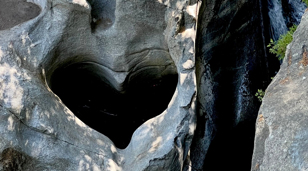
Ladders and Painted Canyons Loop Hike

MECCA HILLS WILDERNESS

Activity: Day Hike

4.5 miles, 820′ elevation gain, 2.5 hour duration, rated Moderate

Date: 1-29-23

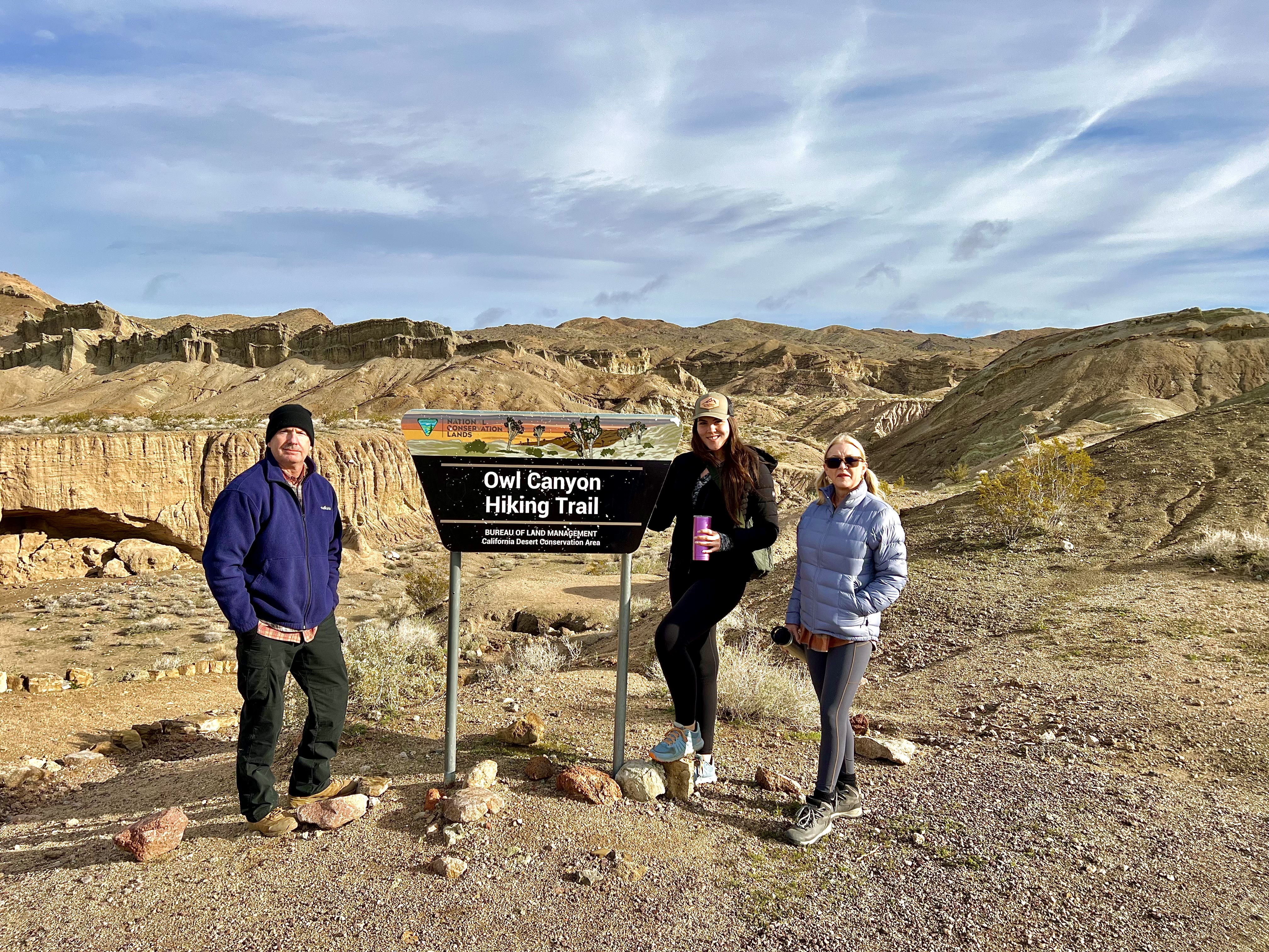
I did this hike with fellow outdoorsman Loren, whom I refer to as the “Trail Boss”, because of his Off-Roading expertise. Not long ago we had an Off-Roading trip in Anza-Borrego, not too far from where this hike is, with a group of friends and he planned it all out and kept everyone on the straight and narrow. Well, none of the canyons we drove were straight but they were narrow, lol.

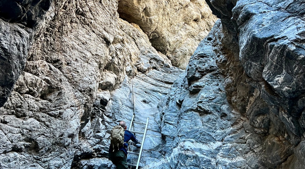
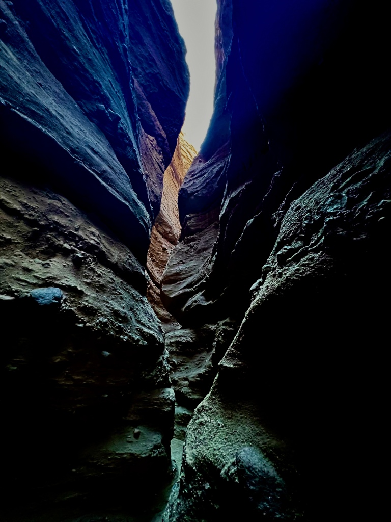
Ladders Canyon and Painted Canyon Loop Hike is not unique in the beauty found in some of our South West Canyons, but it is certainly at least on par with some of the best. What is unique, I have discovered, is the Ladders Canyon portion. It is literally a canyon full of ladders. Without the ladders you would need to be a rock climber to do this hike as it is well passed scrambling, although there is still a bit of that as well.

The adventure begins with 5 miles of driving on dirt- ending up in a wash. When you exit the asphalt there is a sign saying “4 Wheel Vehicles Only”. It was nothing at all for my 4Runner TRD Pro, but we did see a few regular cars bouncing along slowly on the bumpy road taking a beating on the washboard track.

We arrived at the trailhead mid morning and I guess we were not the only ones that heard that this was one of the Best Hikes in Southern California. Of course I will say that I am spoiled as I try to do my hiking during the week, but in this case that was not an option for my workaday friend.

As soon as we reached the first ladder there was a bottle neck of people. We were informed that was nothing compared to the 50 or more stopped-up a little further ahead. So we regrouped and decided to take the loop counter clockwise. This meant that we would do the ladder portion last going down the ladders instead of up. Seemed like a fine trade off.

Bottleneck at the first couple ladders forced us to rethink our endeavour.

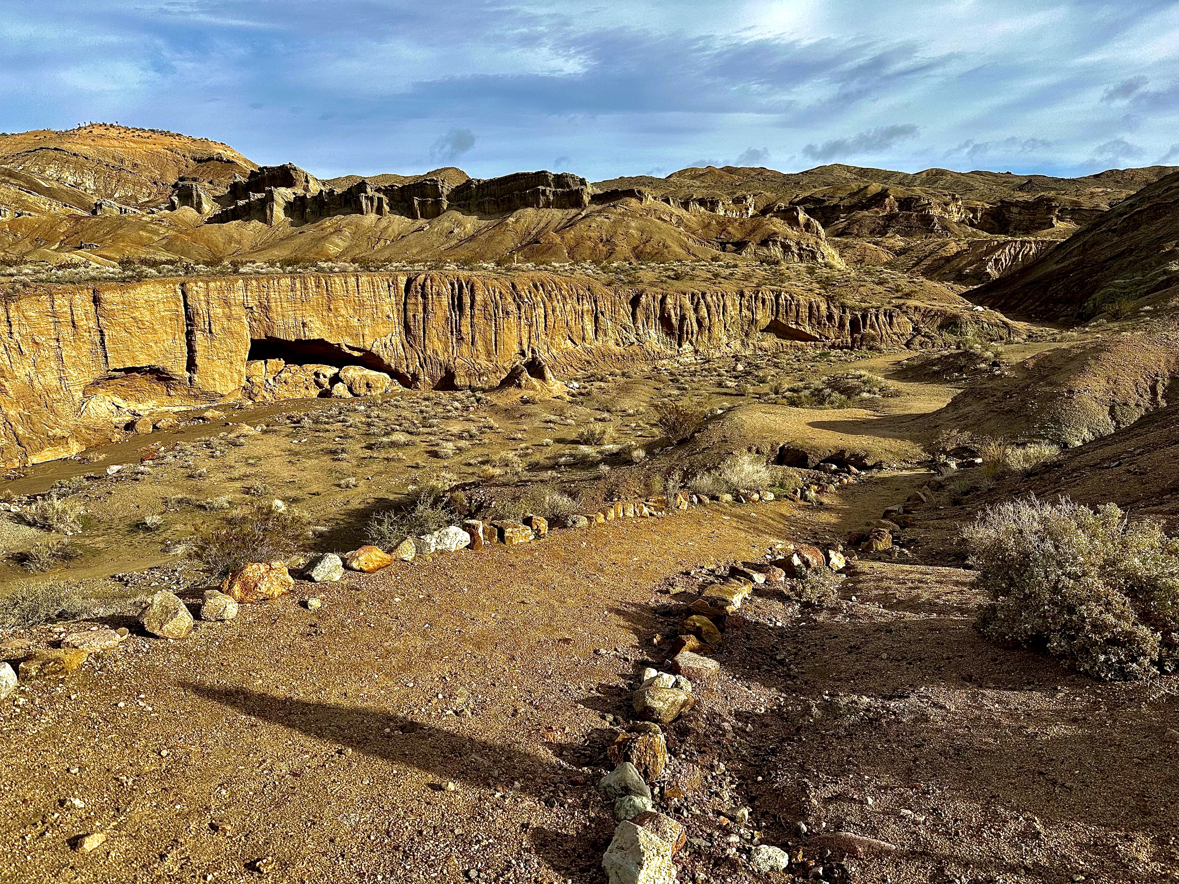
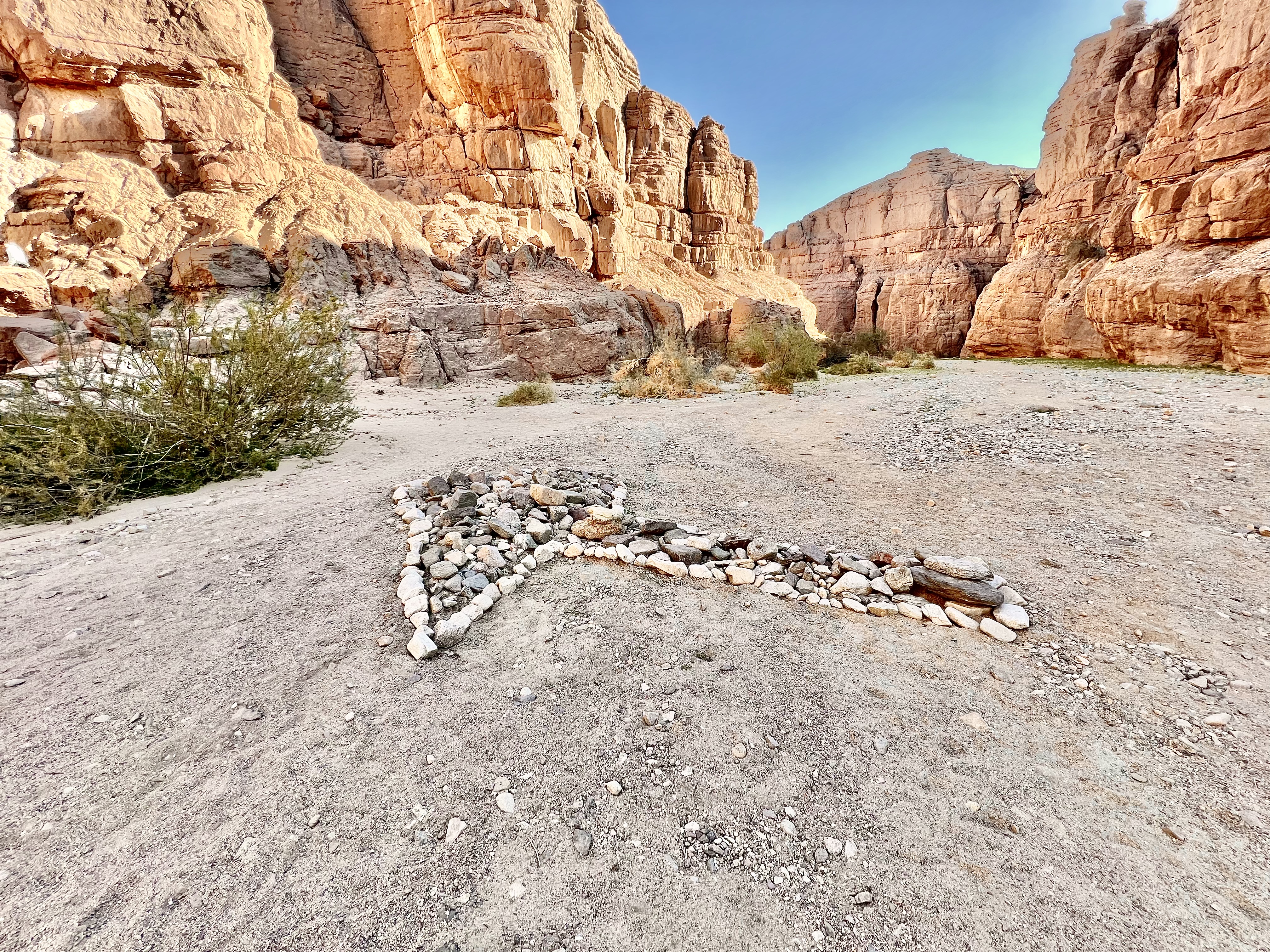
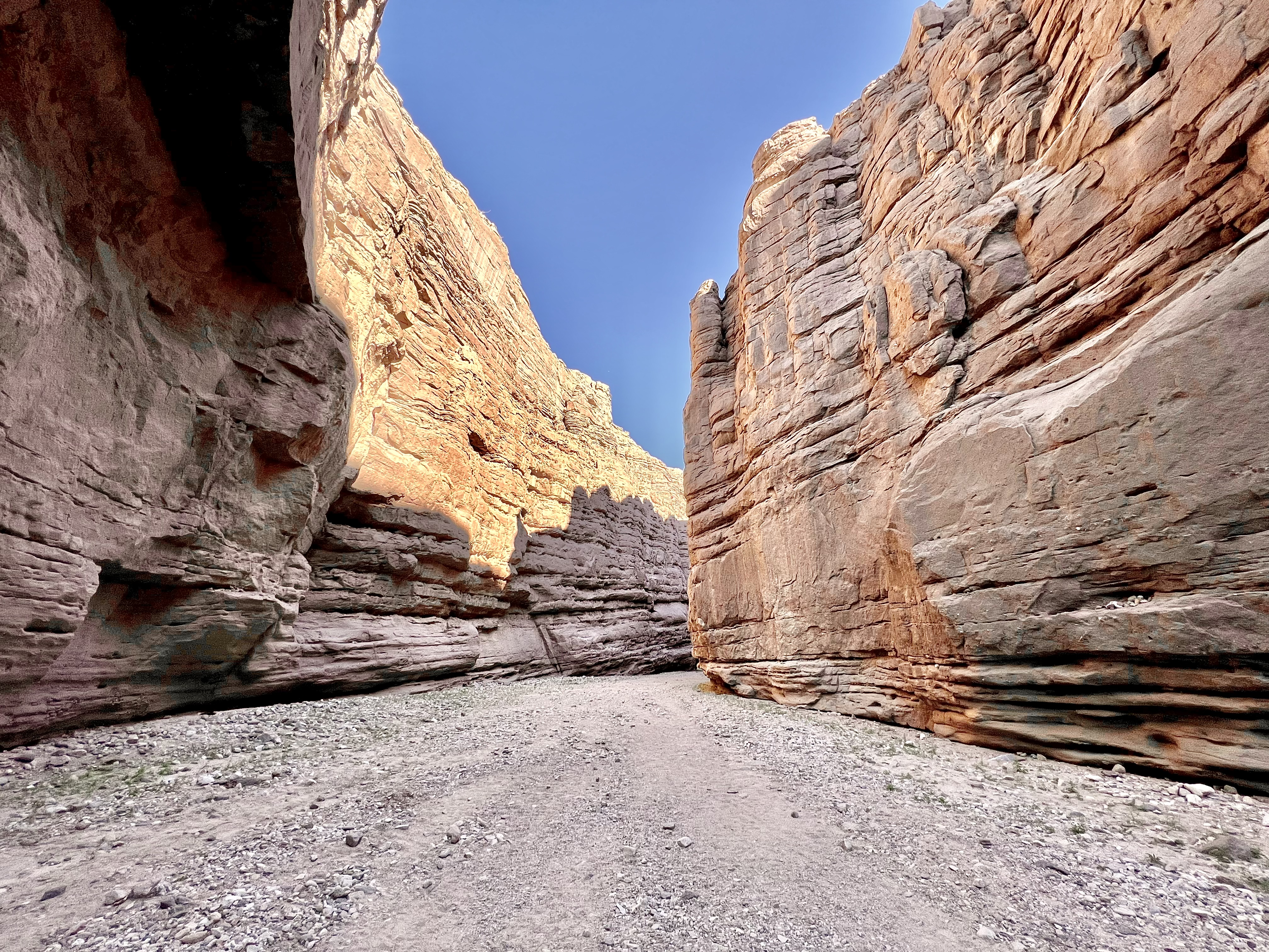
During the counter clockwise route we first walked in a wash, a mixture of packed sand, and pea gravel. The Painted Canyon walls were stunningly beautiful and throughly rugged. The trail led up top to a view of the desolate surrounding desert hills, far off snow capped mountains and we could peer over the side down onto the canyon trek we had completed earlier.

This ladder ended with a rope assist and scramble to the next level.

We scampered up to a high spot on a hill overlooking the trail for a break. Not so much because we needed one, but it was nice to stop and take in the surroundings. Our reason for the pitstop was over the far hill hikers appeared like army ants swarming the trail. Apparently that bottle neck of outdoor enthusiasts had made their way to the mid point of the outing, so it was a good time to take a few steps off the trail.

In this area there seemed to be more than one route, we even got off course for a bit before rechecking our GPS trek and then doing a little cross country traverse down a rather steep, stoney hillside to get back on track. Between the start, where we turned back away from the crowd, and getting off course we added about a mile to our day, no biggy.

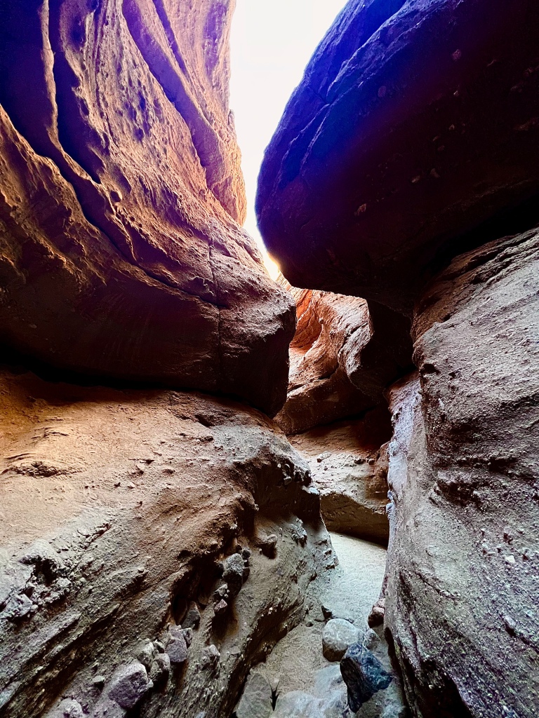
Most of the trail is pretty easy. Going down into the slot canyon portion was a bit more rugged, heed caution in this area. Watch your step as it is steep with some loose footing. After this point we got into the slot, wow was that cool. Love slot canyons and this was a good one to be sure! Narrow, winding and the rock changed in it’s texture and color. It was pretty amazing.

We were now in the last quarter of the hike and it was ladder time. A series of ladders are maintained by the Coachella Valley Hiking Club, I understand. That is very nice of them. The ladders are in okay shape, perhaps a bit rickety, so certainly look them over including the placement. I saw a couple of people that needed to take a breath before tackling them, but they really aren’t that bad. It was pretty fun as the only ladder I remember being on during a hike was at Arizona Hot Springs where it was quite rickety and slippery down a waterfall of hot water. Most of the ladders are just like you placed them against your house. One leads down into a tight hole, and another required a rope to assist you with a bit of a scramble as a means to reach the next level. All very doable, so not to worry.

Ladders Canyon and Painted Canyon Loop Hike was tremendous. We throughly enjoyed it. Keep in mind that it is pretty popular so if you can adjust your time to that different then most folks that would probably be preferable.

Pursuing Balance Through Adventure YouTube Channel
Ladders and Painted Canyon Loop Hike
CLICK THE PIC!
“Nature can bring things back into perspective and that is important…
No essential. At least every so often it is crucial to get out
and un-shoulder some of that burden that accumulates as part of life.”
– Roger Jenkins, Pursuing Balance Through Adventure

Thanks for joining Trail Boss Loren and myself as we found ourselves ‘Pursuing Balance Through Adventure’ on ladders in a painted canyon. There are more adventures to be had. Stay with us by doing some or all of the following: LIKE, COMMENT, FOLLOW and SHARE. The menu above is chock filled with ideas and inspiration for your own adventure into Nature, something that we all need to balance out our busy lives. Each location or activity is a separate website and thus needs to be FOLLOWED independently. If you like the hat and shirt that I am wearing I have a full line of top quality Adventure Wear with the PBTA Logo and Mantra at SHOP APPAREL for your purchasing pleasure.

Happy Trails-

Roger Jenkins

Pursuing Balance Through Adventure

Mount San Jacinto from Idyllwild

Back on Top

Mount San Jacinto Peak
November 2, 2018
16.6 Miles, 5,219’ Gain

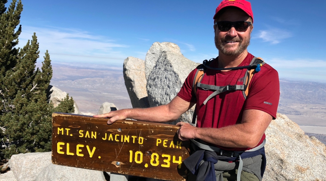
Three weeks after summiting Mount San Jacinto I was back. When I was there the first time it was with my friend Dexter. This time I went solo, and it was twice as far and twice the elevation. John Muir said the view from the top of this peak, one of the most prominent in the lower 48, was the most “sublime on earth”. Well, when I was there last time there was a monster storm rolling in so the view was less than stellar. Then my college friend, Jean Howarth Lindberg (Delta Gamma, OSU), jokingly commented, you took the Palm Springs tram to 7500 feet? She had done the Oregon portion of Pacific Crest Trail, and was not impressed, (of course she was probably in her 20’s). So this trip I left from Idyllwild, and the weather and the views could not be better.

I have been plagued the last few months with a racketball knee injury, but straight line seems okay even with a heavy pack. But it was hard last time, and it was hard this time. Last time I might have been dehydrated, and I definitely was feeling the altitude. When I arrived at camp in the dark last time I felt a little sick, and skipped dinner. I was better hydrated summiting this time, and perhaps a little more acclimated. But there were times, as I was being passed by 20 somethings that I was not sure I would make it. Like before near the top I was taking frequent breaks and breathing pretty heavy nearing the summit. But the big thing wasn’t the physical part because hard or not I knew I could do that, but I was also fighting the sinking sun. I did not want to be hiking in the dark again. Since I was taking another route, from the other side of the mountain, I made a deal with myself. If the trail I was on intersected where I thought it would, close to the top, I would finish. If however, it intersected much lower and I still had a long ways to go then I would skip the top. Because I certainly did not want to arrive back at camp in the dark again.

You see, on the first day once again I was caught after dark on a pitch black trail. I backpacked 5 miles to where I was camping. I left Idyllwild mid afternoon, but it was steep, the going was slower than I expected, and I had more weight, as I had to carry more food and water since this was a 3 day trip. I had two issues, both had to do with my camelbacks. One leaked in the trunk all over my backpack, so when I put it on it was wet. So I replaced the needed water with water bottles. Then while hiking my second camelback was leaking, again making me wet, and I was losing precious water. (I ended up having to ration the last day.) Anyway, the going was steep and slow with the heavy backpack, and I found myself hunting and pecking in the dark trying to make sure I was still on the trail. The trails are not always easy even in the daylight. At night, especially with it being Fall with lots of pine needles covering the ground, it can be quite difficult at times with a little head lamp. The temperature was dropping and I had a slight chill from being wet, mostly from the leaking camelback, but possibly from perspiration as well. Finally I was not sure I was still on the trail, and decided I would just pitch my tent and stay put until day break. When I turned around there was a sign saying Strawberry Junction, which was the designated camping area for the wilderness, sweet! So I made camp, fired up the stove and had 3 Sisters Stew. The boiling water in the pouch warmed my hands and I held it against my chest which was warming me up. Once I got in my tent and sleeping bag I was nice and toasty.

img_3153

Day two was a 10 mile or so hike. It was a loop so I would have maximum views from all sides of the mountain. When I finally made it to the summit I did not enjoy it as much as I would have liked to. There were a lot of people up there since the weather was so nice. Almost all of them were from the tram and so their journey was much shorter than mine. I had to wait my turn for a picture with the summit sign. Also I was pressed for time as I was burning daylight and I did not want to be hiking in the dark again. So strangely enough I am enjoying the view from the top the same as you are through my pictures.

I made it back to camp 30 minutes before sunset after enjoying some great views I had not seen before, although speaking of places where the trail is hard to see… I was so enthralled with the view that I missed a switch back. I thought to myself, this is like the worst trail ever. It is steep, loose dirt and rocks, the stickers are overgrown, hold it… this can’t be the trail. Obviously someone had been where I was before, but this definitely wasn’t right, so I back tracked and sure enough I had missed one of the zig zags.

After a great sunset and some backpack cuisine delight, I curled up in my sleeping bag. While backpacking it seems like I just cat nap all night. Which I suppose is better than last trip with the pouring rain and thunderclaps all night where I did not sleep wink. The funny thing is I would be thinking, okay it should start getting light out so at least I can get going and be doing something. I would check the time and it would be like 11:30 PM.

Day three was five miles back to Idyllwild. Another nice day with great views enjoying God’s creation.

Bane Canyon Extended Loop Trail

CHINO HILLS STATE PARK

Activity: Day Hike

8 miles, 1,237’ elevation gain, 4 hour duration, rated Moderate

Date: 3-22-22

I discovered that a person that I sail with went mountain biking on the same day I biked at Crystal Cove. She told me that she biked Chino Hills. I had not heard much about this area and was of the opinion that it would be more of a urban type of hike, but decided that I would check it out just the same. My research of the current Spring conditions at Chino Hills State Park made it look intriguing with green rolling hills. I choose a hike that looked like it covered a good amount of ground, but then extended it to be as far away from others as possible, such that I could get that more natural, on my own type of Zen like feel that I seek when I hike.

The best way to get away from it all was to pick something a little steep and higher up then most everyone else would do. If you see my map I went clockwise up to a ridge. The ridge was great as it provided a bird’s eye view of the area, the mountains off in the distance including snow capped Mt Baldy, the rolling green hills all around me, the interior of the park, and unfortunately the sprawl of urbanization, and some power lines which is something I try to get away from when ’Pursing Balance Through Adventure’. Still if I looked where my feet were taking me and glanced off to the green hills to my right then all was good, that is once I got passed the power lines.

Here are some of the particulars in regards to the route. I parked on the street at the corner of Elinvar Dr and Sapphire Rd. Doing this will get you into the park earlier then the 8AM that the drive into the park opens and saves you the cost of parking. If however you park where I did on a Tuesday, on Street Sweeping Day, which is not well marked, and you will get a huge frick’n ticket… Unfortunately I speak from experience.

The asphalt drive into the park is Bane Canyon Drive, so that is the beginning of the trek and it is somewhat steep. At the top of the incline you can go onto dirt hiking trails left or right, I went left and there was a trail sign pointing towards East Fence Line Trail this led up more incline until you make your way onto Bane Ridge. It was cool hiking along this spine and there is even one spot that you are on a sort of a knife’s edge with steep drop offs on both sides. This goes on until you finally take a left turn on to the wide Pomona Trail. Stay on that trail until you see the old windmill. Just in front of the windmill turn right back onto East Fence Line Trail. I pretty much had all of this section to myself which is just the way I like it. The trail will run along a fence line, thus the name and finally empty out on to Long Way Around Trail where you go left. It is a short distance to Corral Trail where you will have some really pretty views as you head downhill. I found some lovely patches of poppies and the green hills and canyon were very special. Once you get down to the bottom of the trail you need to get to the paved road in front of you by taking a short cut little trail or go to the right and then loop back to the left. Up the hill for a scenic view and then turn to the right to the Equestrian area. There is a shaded picnic area there and a bathroom. Go straight ahead up Bane Ridge Trail. You will stay on this trail all the way back to Bane Canyon Drive, the paved road and on out. Along the way through a series of hills, on a winding path, I found more poppies and the Black Mustard was in bloom. This is a sort of day glow yellowish green tinted invasive species, a weed basically, but it certainly adds color in the Spring.

So summing up the area. I was pleasantly surprised by how lovely the park was especially in the Spring when it is so green. The power lines and the urban views from the ridge were a turn off, but otherwise I liked it.

Some Urban Sprawl in the mid-ground, but it is SoCal.
Pursuing Balance Through Adventure YouTube Channel CLICK THE PIC
Time is really a gift, so… “Leave the roads and take the trails.” -Pythagore 

Thanks for hiking along with me as I checked out what is a new area for me all in the name of ’Pursuing Balance Through Adventure’. I loved the rolling green hills, the canyons, and the wildflowers. Despite what I mentioned regarding the urban views from the ridge it was fairly remote along the first half of the trek and in one spot maybe even a little wild. I found fresh scat and a half eaten bunny so it certainly wasn’t that tame of a spot. It was a good place to leave the troubles of the outside world and wandering the paths. Nature clears your thoughts and restores some balance and that my friend is what PBTA is about. So stick with me for more healing through nature’s open arms. This can be accomplished simply by doing this: LIKE, COMMENT, FOLLOW and SHARE. The menu is a great resource for you when planning your next outdoor adventure. Each location is a separate website and thus needs to be FOLLOWED independently. You will find my Pursuing Balance Logo and Mantra on high quality Adventure Wear for purchase at SHOP APPAREL.

Happy Trails-

Roger Jenkins

Pursuing Balance Through Adventure

Cucamonga Peak

CUCAMONGA WILDERNESS

Activity: Day Hike, Peak Bagging

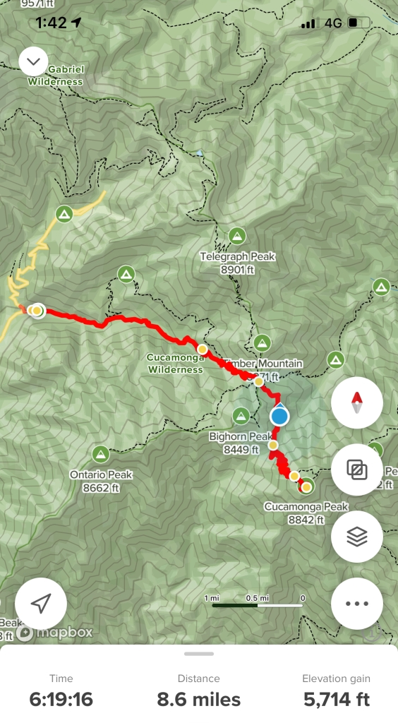
13+ miles, 8,859’ elevation, 4308’ elevation gain, 8.5 hours, rated HARD

Date: 7-9-2021

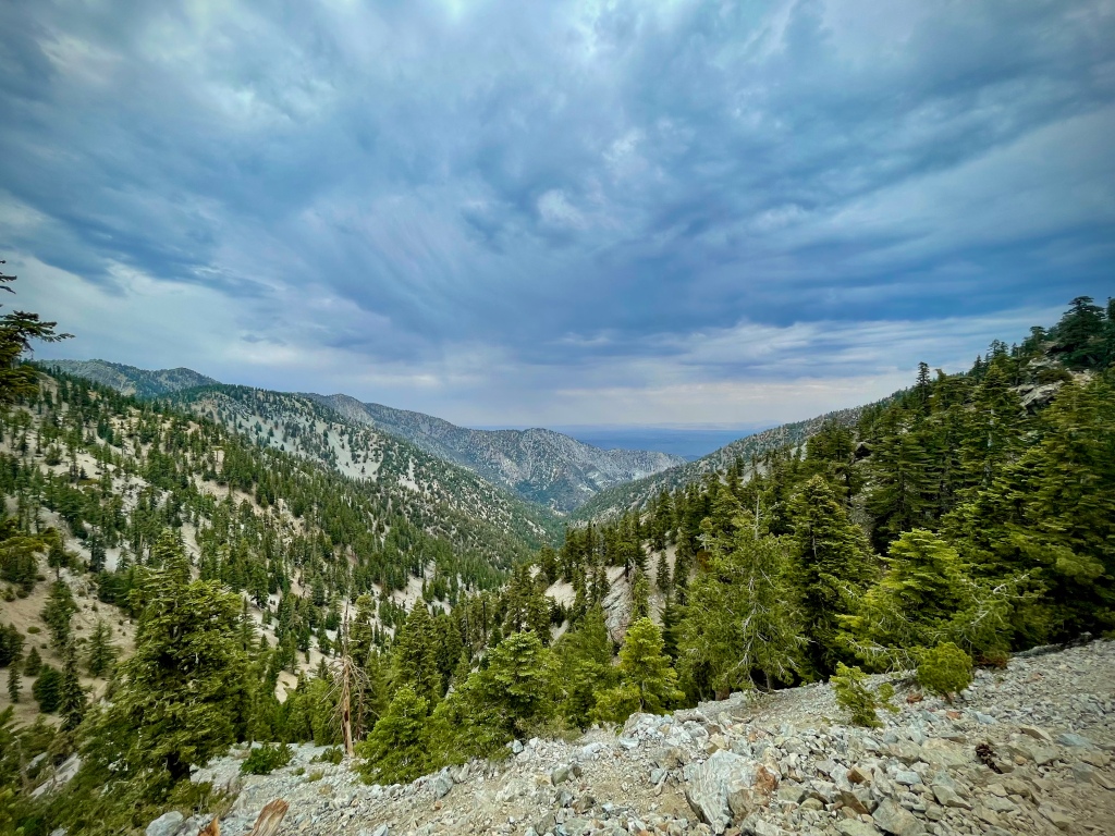
Ice House Canyon to Cucamonga Peak Trail is a difficult hike through some of the most scenic territory in Southern California and will give you the impression that you are in the Sierras. This area is my favorite in SoCal because you have so many options. Ice House Canyon leads up to a saddle which branches off in different directions to multiple hikes that will wet your hiking palette. It is a gorgeous hike up a wonderful tree lined trail, along a flowing stream in view of mountain tops in close proximity.

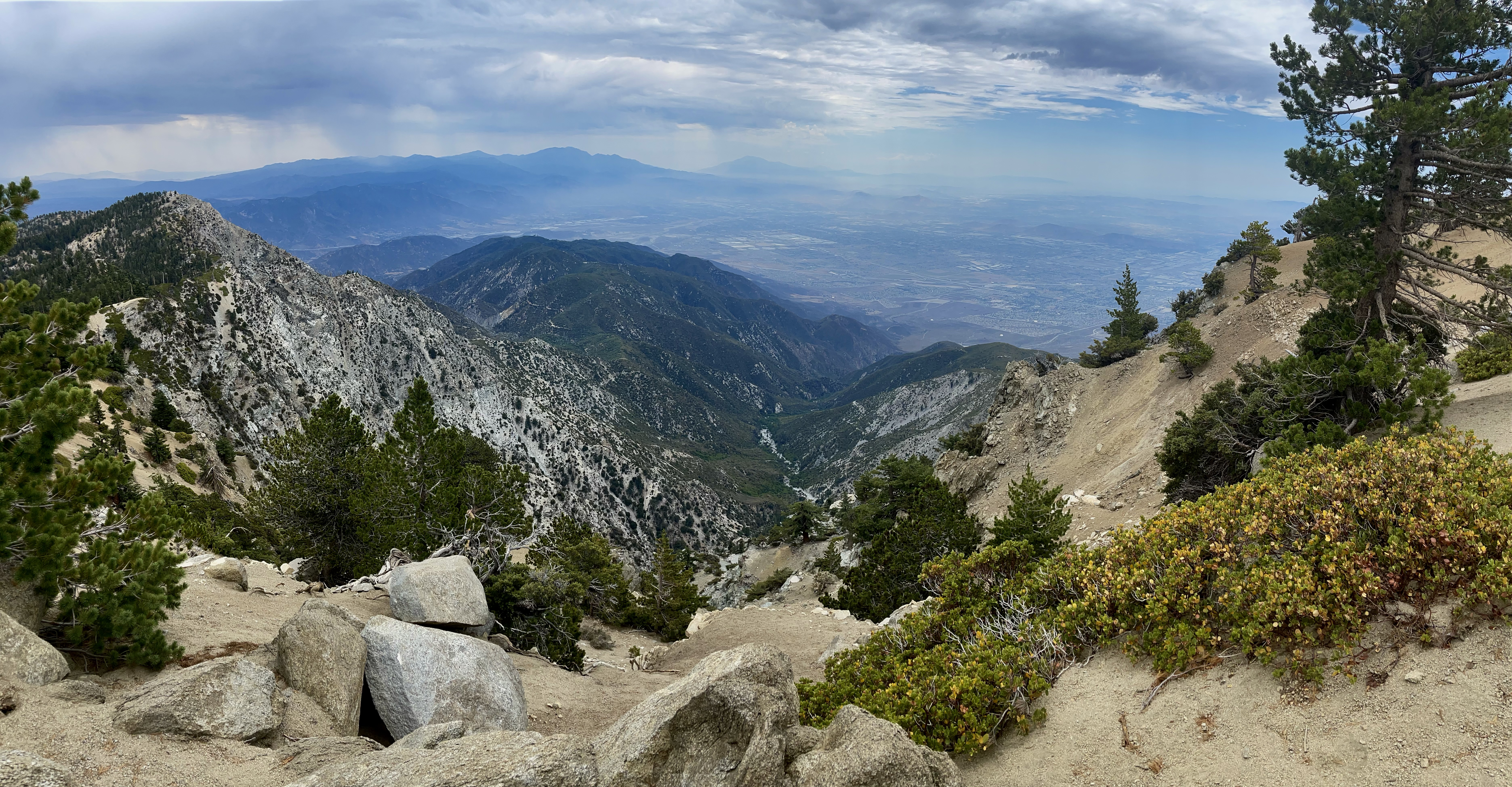
Once at the saddle you head on up to Cucamonga Peak taking in the views of the neighboring mountains Timber Mt and the Three T’s, Bighorn Peak, Ontario Peak, Mt Baldy and farther off in the distance the other direction you can catch glimpses of Modjeska Peak/Saddleback Mt, San Gorgonio, and San Jacinto.

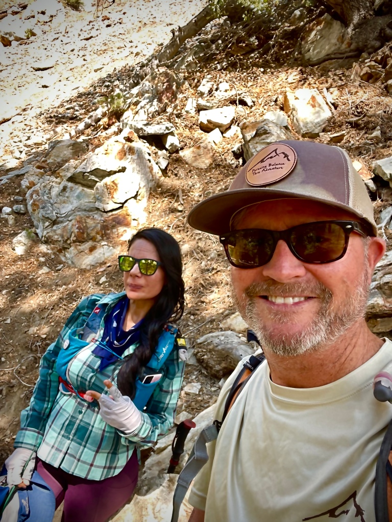
I love to stop and talk to fellow hikers and learn about their adventure. Along the path I met a young woman, Vivian, who has summitted Cucamonga Peak 48 times! She was proposed to on Cucamonga Peak and as a matter of a fact she informed me that the following weekend she would be married there and in attendance will be hiking friends. How cool is that?  And she just got back from Mount Whitney. 

Along the way if you are observant you might spy an Old Abandon Gold Mine started in the boom of the 1860’s. Lytle Creek Mine starts out a small hole in the ground that you have to shimmy into on your hands and knees and then it opens up so you can stand. It has several passage ways ending in a mind shaft that goes straight down, so mind you step and bring a good light if you DARE to explore. This probably was not the best idea since I was alone with only a IPhone to light my way, but I wasn’t expecting an old creepy abandon mine to tempt me. I did alert my safety group that I was about to do something crazy. I have a group of friends that are hikers, follow any trekking adventure of mine with detailed info on the trip, where I would be, when I start, and when I plan to finish. If I am in cell service they can track me with an APP. If I am not in cell service, which many times I might not be except if on top of a mountain, then they will know my last location that I did have cell coverage. I spent 15 minutes or so spelunking, and then gave my safety group the all clear of the mine.

The trek up the mountain is not an easy one, and it is long, so it is not for those just starting to do some hiking even if you are tempted by the sounds of adventure, discovery, nature, with alluring mountain vistas that spill out before you to revamp and rejuvenate. In other words this is a first rate hike that certainly can fit the bill of ’Pursuing Balance Through Adventure’. Such an adventure can act as an equilibrium between the workaday world and it’s stresses and pitfalls – freeing ones soul in nature. But… you should be in good physical shape, carry plenty of water and snacks, equipped with good sturdy hiking footwear, and trekking poles are a good idea. (if you are doing this in Winter then that is a whole other ball of wax and I suggest reading about my first Winter trek in this area, in deep snow, Bighorn Peak and also Hiking in Snow.)

Once on top you will want to spin around belting out the theme to the ‘Sound of Music’. Take some time and hike around the top a little and take in the astounding views in every direction. Pose with the summit sign on the cliff overhang and just take a load off… if only for awhile.

I stopped and passed the time with this young women who was engaged atop Cucamonga Peak and would be married on the summit next weekend. How unique is that?!
British Young Women loving life on Cucamonga Peak
Cucamonga Peak 8,859’, Wikipedia has it at 8,862’ maybe that is if you stand on that rock in front of the ledge I am on, lol.

Sometimes you just need an adventure to cleanse the bitter taste of life from your soul.

The Tree was barking out commands to me. It suggested to me to be ”Pursuing Balance Through Adventure”.

Thanks for joining me on this exquisite journey to the top of one of the tallest peaks in the San Gabriel Mountains, and certainly one of the most beautiful trips around. For more adventures be sure to do the following: LIKE, COMMENT, FOLLOW and SHARE. The menu above will have many different locations in the West that PBTA travels to in the pursuit of finding balance in life through nature and adventures in it. You just might find yourself in need of this type of freedom. Each location is a separate website and thus needs to be FOLLOWED independently. For the appropriate adventure wear for such a pursuit please click here: SHOP APPAREL where you will find top quality gear with the PBTA logo and mantra.

Happy Trails-

Roger Jenkins

Pursuing Balance Through Adventure
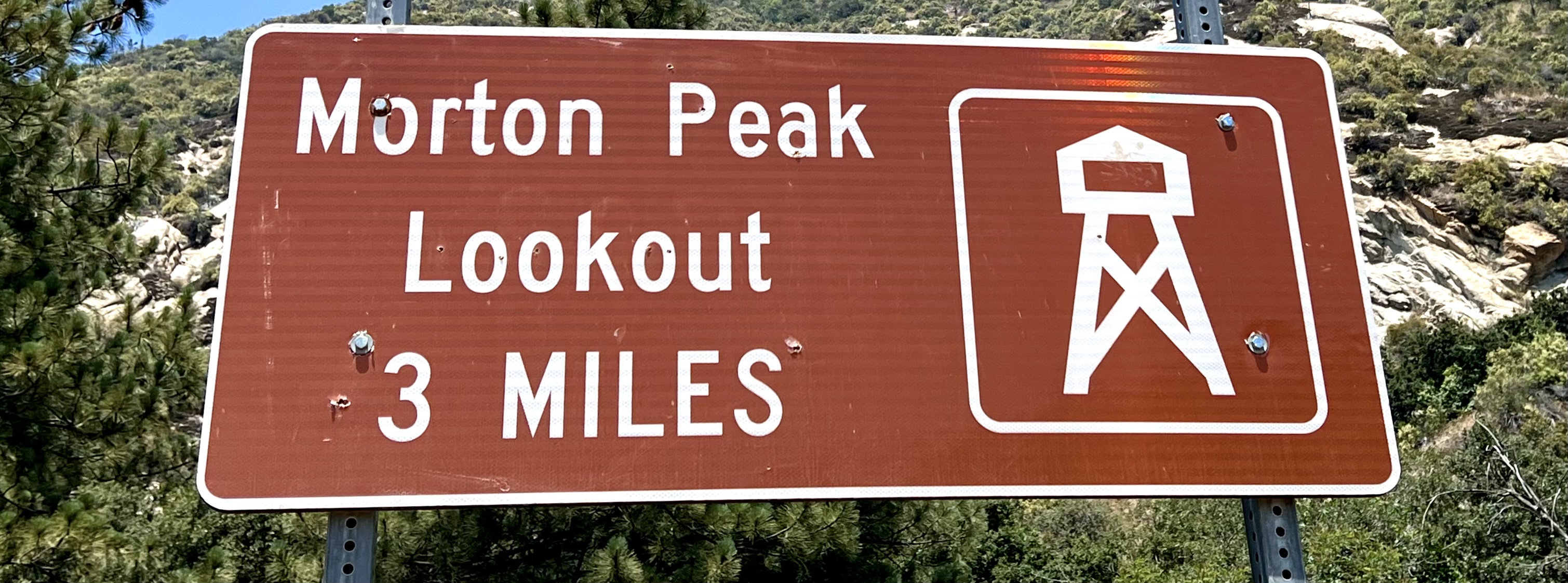
Bighorn Peak

CUCAMONGA WILDERNESS

ANGELES NATIONAL FOREST

Activity: Snow Hiking, Snow Peak Bagging 

12 miles, 8441’ elevation, 3619’ elevation change, 10 hour duration, Rated HARD 

Date: 2-17-21

This is the hardest hike I have ever done. Well, except Mt Langley, a 14’er, as that was a killer and the altitude wiped me out.  The hike to Bighorn Peak is serious in the winter. I took on this challenge with trepidation. I really didn’t want to do this alone especially because of the snow and ice, but then again I got to go at my own pace and to really absorb nature.  The snow trek to Bighorn Peak is long, it is hard, it’s got altitude, it has elevation gain and did I mention snow and ice?  There are steep slopes that make having micro spikes a must. I have new really nice winter hiking boots, and micro spikes and they were essential.

My plan was to go to the first of the two peaks, Bighorn Peak and see how that went. If I felt good then back track and head for the second higher Ontario Peak. Without snow and ice this could be an 8 hour trek. I was soon to discover that hiking in snow is much more difficult and time consuming then I even allowed for especially on a steep incline when you want to be sure of each and every step. So needless to say, one was more than enough.

Sporadic snow and ice on Icehouse Canyon Trail going up, (Ice on Icehouse, go figure…), but nothing that good boots and trekking poles couldn’t handle, that being said use caution. The two times the trail seemed sketchy is because it was, in-fact I got off trail. Checked GPS and back in line.  I zigged when I should have zagged on a couple of the switch backs.  

This would be a tough, long, arduous exploration.  I had only enough experience hiking on steep snowy mountainsides to know that I should indeed embrace that feeling of caution. My first such outing was with my friend Dexter on Blue Ridge Trail near Wrightwood.  We did not have micro spikes or snow shoes, but just tromped a foothold in the snow on an exposed mountainside.  That hike would have been simple in the summer, but not covered in snow where at times we sunk up to our knees.   

I was in the wilderness trudging through the snow to a peak that not many people get to this time of year.  How do I know?  I did see a few folks on the Icehouse Canyon Trail leading to the Icehouse Saddle, not many however, although true enough it was midweek. From Icehouse Saddle the trails could go in 5 different directions as far as hikes. I did not see anyone going up to Bighorn and Ontario Peaks, which was all snow. The prints in the snow heading up past the saddle were very few.

There is a portion of the hike once I made the ridge where I was traipsing along a knife’s edge, with a dangerous and deadly drop, plus the wind was blowing in the direction of the cliff, which kept me on guard.

It was slow going in the snow and the steep, making my journey much more difficult than anticipated.  I was glad to have my new waterproof insulated hiking boots and micro spikes, which definitely was the only way this could have been done.  A large portion of the trek is on a very steep embankment, the kind that you just keep sliding.  I learned some things about hiking in snow and I happily impart that new found knowledge in a post on ‘Pursuing Balance Through Adventure’ Hiking and Backpacking 101, “Hiking in Snow.”

From the ridge to the summit provided amazing views of Ontario and Cucamonga Peaks, (both are on my list to climb), that is once the clouds parted. There were sweeping vistas to delight in the opposite direction as well. Snow capped Mount San Antonio aka “Mt Baldy” glistened in the sunshine, the Three T’s: Thunder Mountain Telegraph Peak, and Timber Mountain, (I have already summited Timber Mt), standing like silent sentries to the right are also on my To Do list.

After the ceremonious Selfie Summit Shot, and a quick snack I headed down. Some people think that going down is the hardest part. Since the cardio portion is eased dramatically I am not one of those people, unless… there is snow. Going down is just as hard, and just as slow because of the tromping in the snow, and when you add the slippery slope and having to be sure of your footing it is more difficult. Then throw into the mix that the afternoon sun now was softening the hard pack snow. I was now stepping through my earlier frozen boot prints and instead of being on top of the snow I was now deep in the snow sometimes to my knees and in some snow drifts even higher. The snow hiding the trail, made it tricky to find the way. I got off trail more than once and that usually meant deeper snow. It was all part of the adventure, but made for a more extended day then I had intended. I was spending more time which also meant that I was expending more energy.

I started rationing my water, so I was probably somewhat dehydrated, add new boots, and overexertion and this all led to feet cramps afterwards in the middle of the night. So a word of caution bring a few extra hours of water with you on a snow hike, and plan on it being way longer than you expect. But have fun and enjoy the journey because this is what ‘Pursing Balance Through Adventure’ is about.

“When you see someone putting on his Big Boots, you can be pretty sure that an Adventure is going to happen.”
-A.A. Milnie

Thanks for joining me trudging through the snow up to the Bighorn Peak while ‘Pursing Balance Through Adventure’. Wow, that was a good one, mostly because it was a challenge, it was something new, and it was exciting- said another way it was ‘Pursing Balance Through Adventure’. I hope that you can get inspired to push your envelop a little bit. Speaking of inspiration there are lots of great places to go find yourself. If you look at the menu above you will see the many places that PBTA travels to throughout the West. Each location is a separate website and thus needs to be FOLLOWED independently. Speaking of following that is a great segue into please FOLLOW, COMMENT, LIKE and SHARE in order for us to have more bold experiences in nature together in the future. Please stop by SHOP APPAREL to support this site and more importantly find some great Adventure Gear.

Happy Trails-

Roger Jenkins

Pursuing Balance Through Adventure

Wright Mountain via Acorn Trail

SHEEP MOUNTAIN WILDERNESS

WRIGHTWOOD, CA

Activity: Hiking, Peak Bagging

8.7 miles, altitude 8505′, 2365′ elevation change, 5+ hours duration, rated Hard

Date: 11-06-20

This hike begins at the top of a neighborhood in Wrightwood. There is a small parking area, from there you will walk through a portion of the neighborhood to the trailhead. While hiking on the Acorn Trail you will be trekking along a section of the Pacific Crest Trail.

The hike wanders through a beautiful pine forest decorated with some falls color to complement the evergreens. Wonderful views along the way and near the top. It is a steep trail up to the summit which stands at 8,505 feet above sea level. Near the summit there is no trail either follow your GPS or just head up, up, up through the woods. There is a clearing with an American Flag on a cliff where in the past there was a large landslide. This is not the summit, but has sweet views of nearby mountains and the valley below. The actual summit is the high point of the wooded area. Wright Mountain is a great hike and I highly recommend it.

I met a new Trail Friend and we hiked the mountain together, an Assistant Professor at a nearby Loma Linda University. My understanding of his class is that he teaches Nursing Students compassion, understanding, faith, and caring toward their patients. Very nice guy and an avid hiker and lover of nature. He confided in me while we gazed out over the valley below something very personal to him. He explained that this hike was a celebration, it was exactly 1 year ago on this day that he lost a special person to him, his father-in-law. Here is the crazy part, his father-in-law’s name is the same as mine, Roger, not exactly a common name, now-a-days.

Here is Wright Mt in the distance and the Asst. Professor on the summit of Wright Mt.

A short distance from the summit is a clearing with an American Flag where we met these two old timers, well experience on the mountain. But this guy seated on the old stump spooked me. The stump is sticking out over a cliff with a stiff breeze blowing toward the edge. Some years ago a large expanse of land gave way in a landslide right where he sits.

“Climb the mountains and get their good tidings. Natures peace will blow into you as sunshine flows into the trees. The winds will blow their own freshness into you, and the storms their energy, while cares will drop away for you like the leaves of Autumn.” – John Muir

Thanks for joining me and my new trail friend the Asst. Prof from Loma Linda Univ. Fantastic day and it was nice to have someone to hike with. It was a windy day that would bring in a storm that night that dumped a several feet of snow where I stand. Please leave a COMMENT, LIKE, SHARE and FOLLOW. I am wearing PBTA wear in the picture, get yours at SHOP APPAREL. The Menu above has inspirational hikes that are categorized by location, each is a separate website and thus needs to be FOLLOWED independently.

Happy Trails-

Roger Jenkins

Pursuing Balance Through Adventure

Sunset Peak Trail

ANGELES NATIONAL FOREST

Activity: Day Hike, Peak Bagging

Distance: 7.5 miles (Added side excursion for a total of 10 miles), elevation change 1,276’ (Side excursion add 200‘ or so?), duration including side excursion: > 5 hours. Rated Moderate (Side excursion and short cut has some steep sections)

Date: 11-5-20

Hiking in the Angeles National Forest is really great. When you are climbing a peak it is so different than life below, as it should be after all, the whole idea is ‘Pursuing Balance Through Adventure’, a temporary reprieve from stress and/or ho-hum. This hike I throughly enjoyed because it was set back in such a way that you did not see civilization until you were pretty much on top. Also it had extraordinary peak-a-boo views, through the firs, of hills, mountains, and ravines, just about every step of the way.

Much of the trail is double track. The first, a fire road, can no longer be used for anything, but hiking. There are multiple trees down across the trail, a couple of rock slides blocking all but a couple feet or so, and brush has grown into the trail way so no vehicle could use this particular trail. Near the top there is single track. There is also a portion were you can take a short cut. I took it on the way down, but it might have been better to take it up, as it is steep with loose dirt.

Once on top the views are simply exquisite. Laid out in front of you is a magnificent range that includes Mt Baldy and several others peaks, you have views of the Inland Empire and mountain ranges beyond, also a nice view of downtown LA.

After summiting the peak, I decided to add on to my hike, so I went on a trail that moved towards a ridge line, leading to some radio towers in the distance. I turned on a ridge that descended down to the right. This was a single track path that moved through some brush and then down some steep sections with loose dirt. This had some great views of the Sunset Peak just summited. It finally drops down on to a fire road and then later reconnects with the trail that was the planned mapped hike. 

This hike has incredible views. As I mentioned, what I appreciated the most is until you get to the top you do not see any suburbia, only mountains and beautiful nature.

Thanks for climbing Sunset Peak with me, now go out and find an adventure that can stir your soul, while you stretch your legs, feel the wind on your face, and drink in all that nature has bestowed upon us… or heck you certainly can continue to tag along with me as I am ‘Pursuing Balance Through Adventure’, – I’m good with that, but to do so you will need to FOLLOW, SHARE, COMMENT, and LIKE. If however, you are excited about finding an adventure there are plenty to inspire you just go to the menu above. Each of the locations is a separate website and thus needs to be FOLLOWED Independently. Yes, that is a new PBTA cap atop my noggin. It’s one of the New Arrivals. You can buy one at SHOP APPAREL Where there is currently a SPECIAL DEAL going on. 

Happy Trails-

Roger Jenkins

Pursuing Balance Through Adventure

Pumpkin Rock Trail

Norco, California

“I have discovered the Great Pumpkin and it is me.”  

Activity: Day Hike

Date: October 16, 2019

2 Miles, elevation change 400’, 45 minutes, rated Moderate

Wow, what a unique hike.  My friend Adam, whom I sometimes hike with, surprised me with this hike.   All I knew was that we were hiking in the Inland Empire.  It turned out to be such a unique and fun hike, and by the way Tis’ the Season as they say.  What a spooktaculare adventure this would be to take your kids on especially right before Halloween.

So when I got my first glimpse of the Great Pumpkin, up on the hillside above the George Ingalls Equestrian Event Center in Norco, California, I thought how nice of the city to have a giant inflatable pumpkin for Halloween.  I pondered they must have a generator up there or something to keep it inflated.  As we got closer I saw that this was a giant painted boulder that was perfectly shaped to play the part of the Great Pumpkin.  If only Charlie Brown was here to see this, and then I realized he was.  Because all of us have a little Charlie Brown in us hoping that he will finally succeed in his “Pursuing Balance Through Adventure” search for the Great Pumpkin.

This is a short hike and is great for kids.  Besides the fun of the Great Pumpkin there are a couple sights along the trail which I have nicknamed Jack Rock, and Scary Pumpkin Rock.  You do need to be prepared as temperatures in this area can be hot and there is not any shade.  Bring a hat and plenty of water to enjoy this Halloween spectacle.  Watch your step as there are places that are steep and the hard pack ground and rock is covered with dusty finely ground pebbles and footing can be slippery.

Now if you are looking for a little more of an adventure then you can do what I did as there are multiple trails running along the ridges.  I ended up hiking 5 miles and hitting several of the peaks, more than doubling the mileage and almost doubling the elevation change.  It is quite a workout doing it this way as a couple of these peaks go all the way down before going back up to the next one.  I would move the hike at that point from moderate to hard.  You always know that a hike is hard when your heels don’t touch in back.  There was even one section that was a down on all fours scramble.  I am not really into urban hikes, but this hike has nice views in every direction from the top of the ridge, and add the Great Pumpkin and you have an unusual yet satisfying hike.

Pumpkin Rock Trail Pursuing Balance Through Adventure
Meditating with Jack


Pumpkin Rock Trail Pursuing Balance Through Adventure
I am sitting on what I am nick naming Jack Rock.


Pumpkin Rock Trail Pursuing Balance Through Adventure

Pumpkin Rock Trail Pursuing Balance Through Adventure


Here is something about this adventure that spooked me.  I was climbing this hill on the way to the peak where you see the cross and the flag, when suddenly out of no where there was this loud buzzing sound from all around me.  A large bee swarm flew right over and to each side of me, followed by a flock of Big Black Ravens.  I was thinking is this some sort of sign?

Pumpkin Rock Trail Pursuing Balance Through Adventure
The Red line on the map shows the Pumpkin Rock Trail.  The Blue dot shows my location on a trail along the ridges above adding to my adventure.


Pumpkin Rock Trail Pursuing Balance Through Adventure
“I don’t see how a pumpkin patch can be more sincere than this one.” -Linus, “It’s the Great Pumpkin, Charlie Brown”

Pumpkin Rock Trail Pursuing Balance Through Adventure
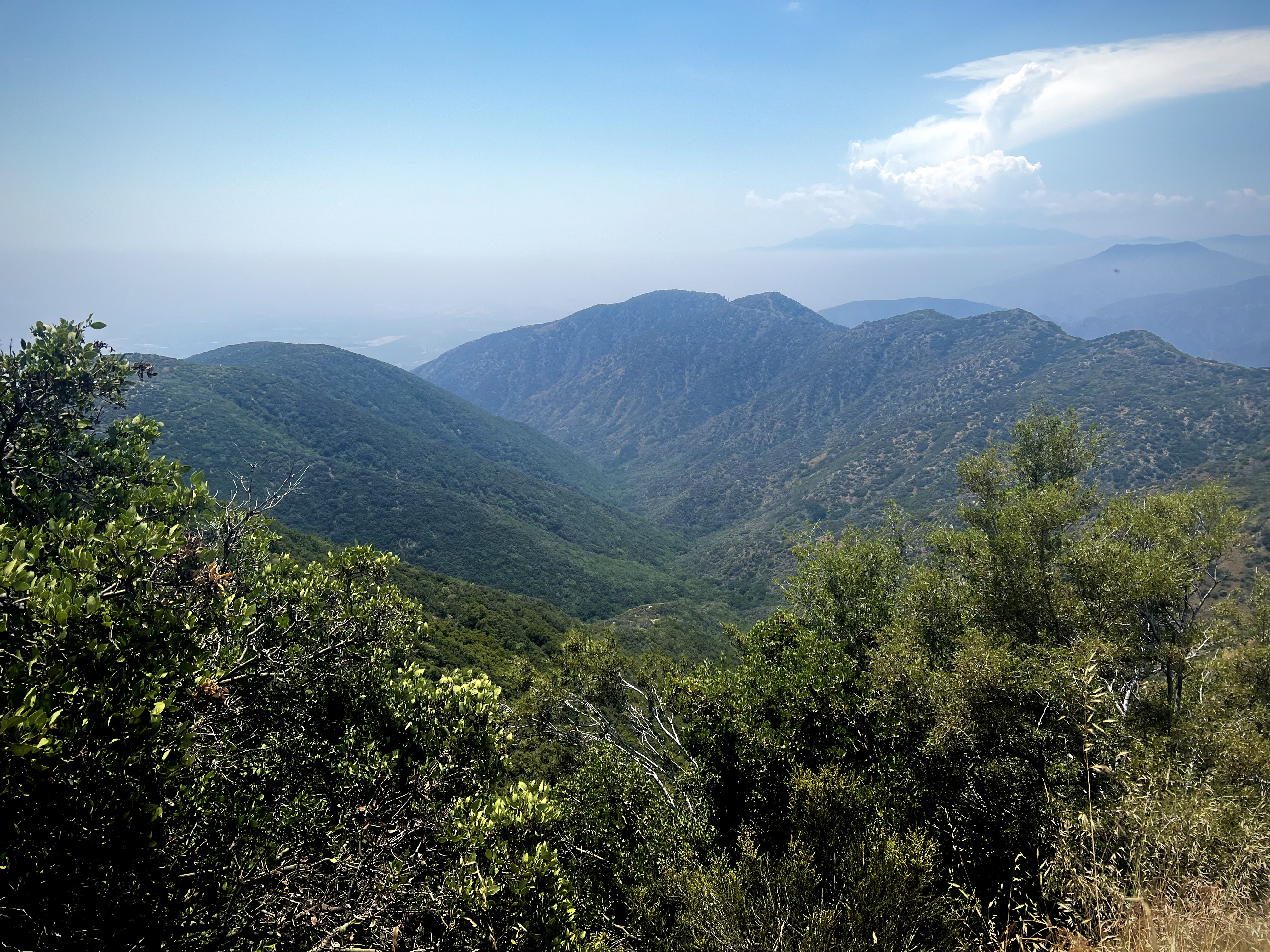
Here are a couple of videos from my Pursuing Balance Thru Adventure YouTube site.


Thanks for joining me for this Halloween Trick or Treat to Pumpkin Rock.  If you enjoyed this episode of “Pursuing Balance Through Adventure” then please LIKE, COMMENT, FOLLOW, and SHARE.

Happy Halloween!

Roger Jenkins

Pursuing Balance Through Adventure