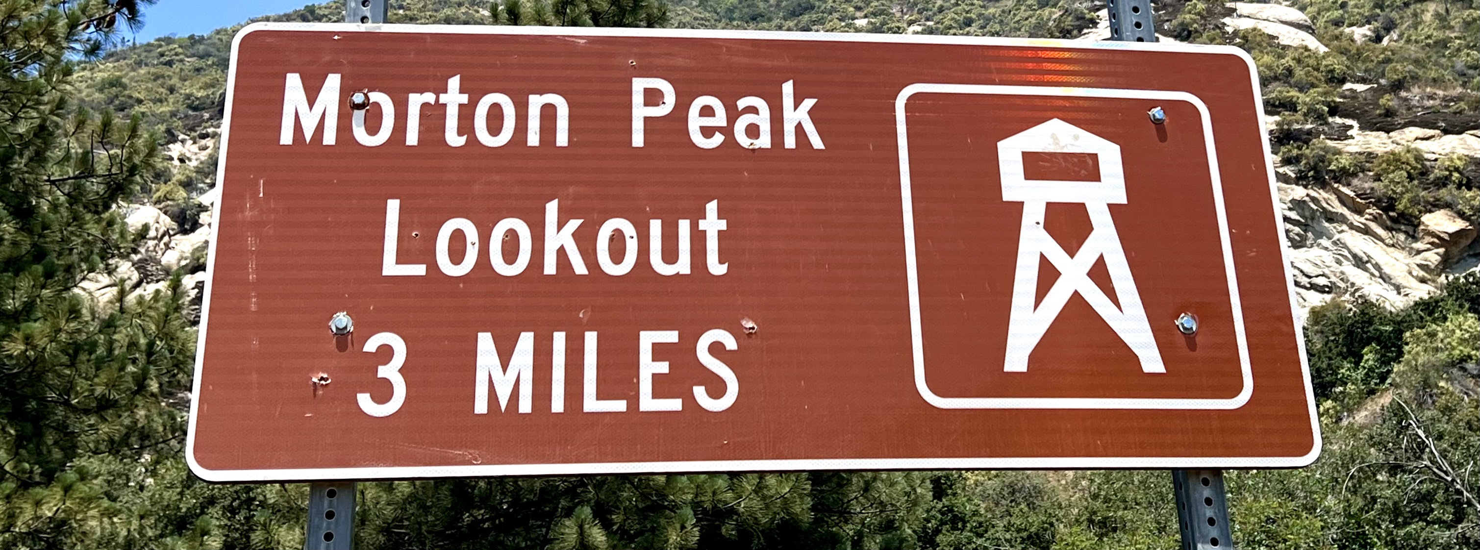
SAN BERNARDINO NATIONAL FOREST
CRESTLINE
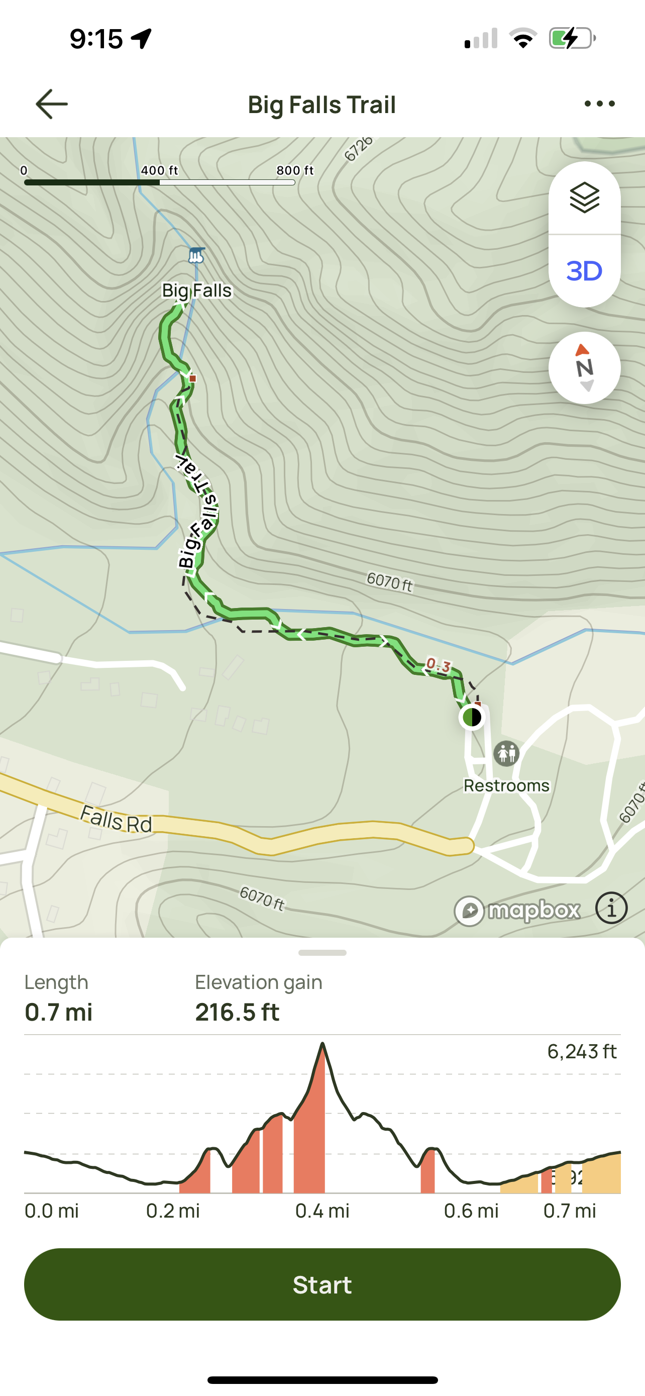
Activity: Day Hike, Chasing Waterfalls
1.5 miles, 272′ elevation gain, 1 hour duration, rated Moderate
Date: 6-30-23
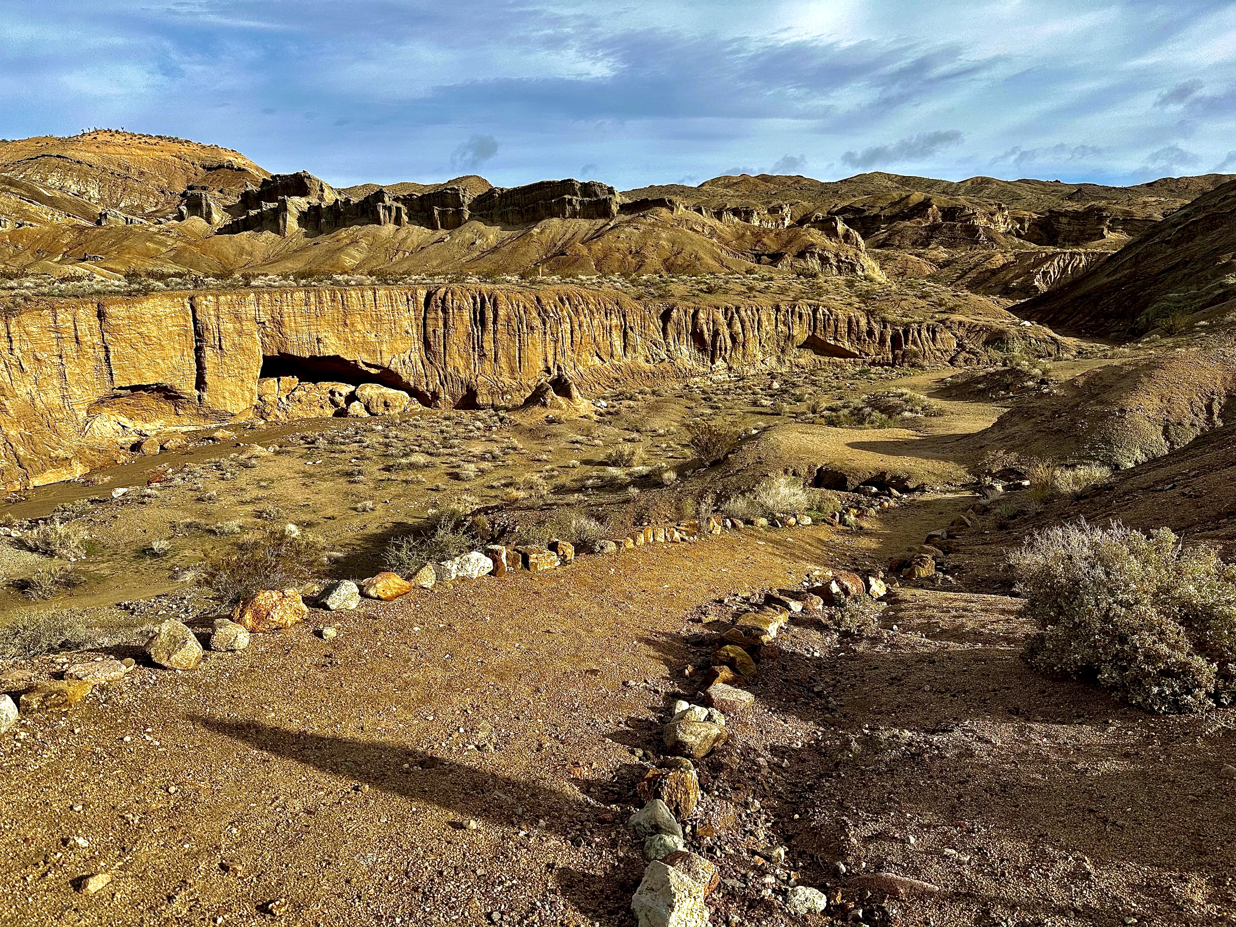
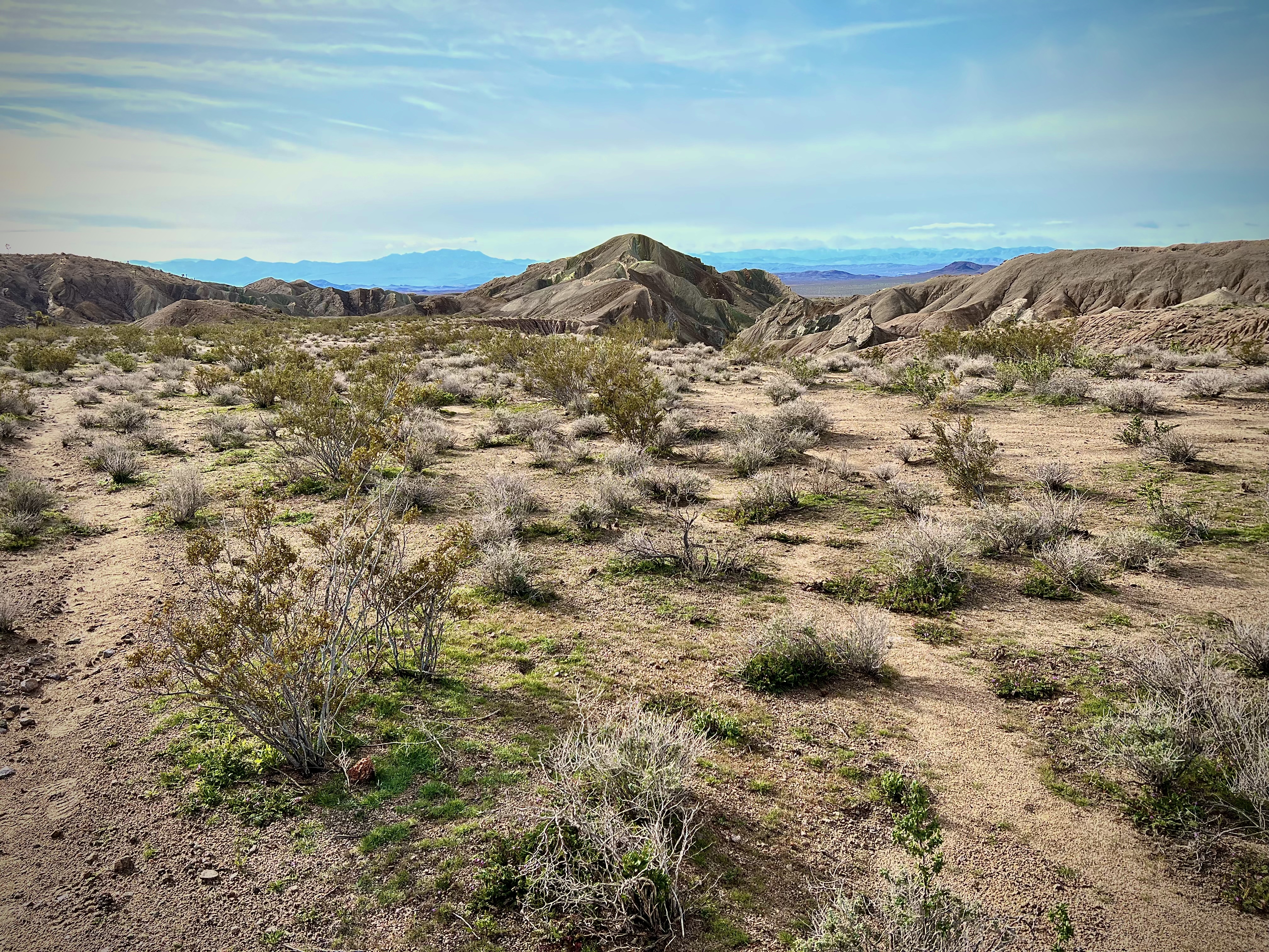
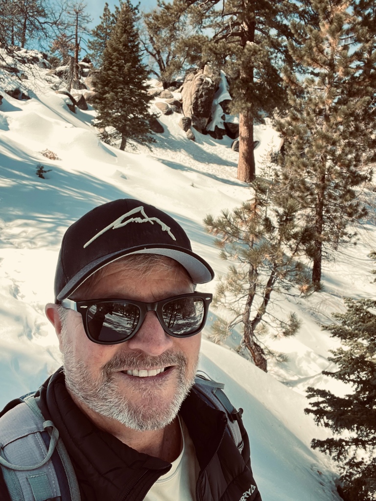
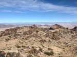
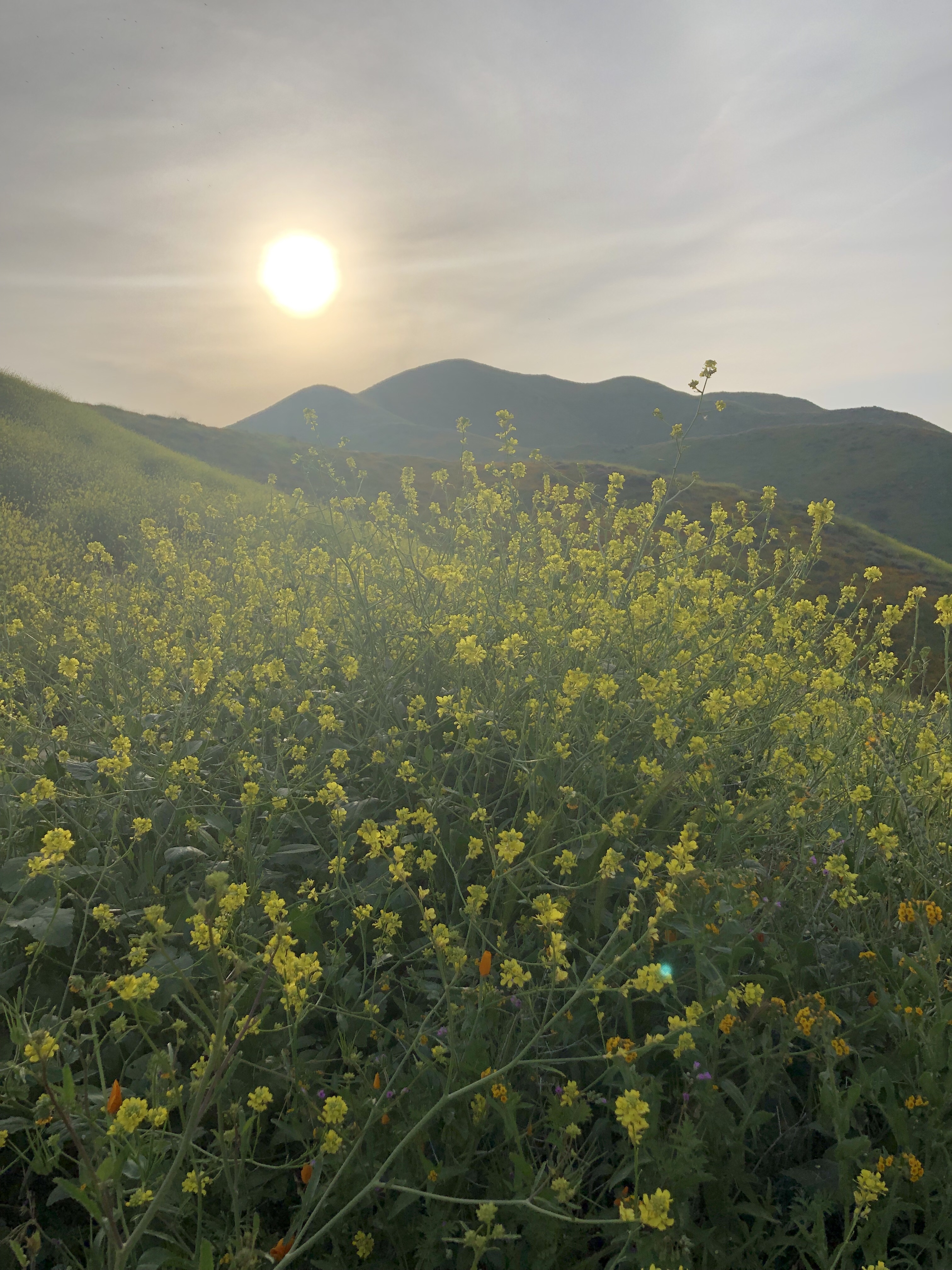
My son Alec and I ventured to the mountains for some Over Landing in our Toyota 4Runner TRD Pro in the San Bernardino National Forest. We kicked things off by checking out this spectacular natural wonder in what the city of Crestline calls the “Valley of the Enchantment”.


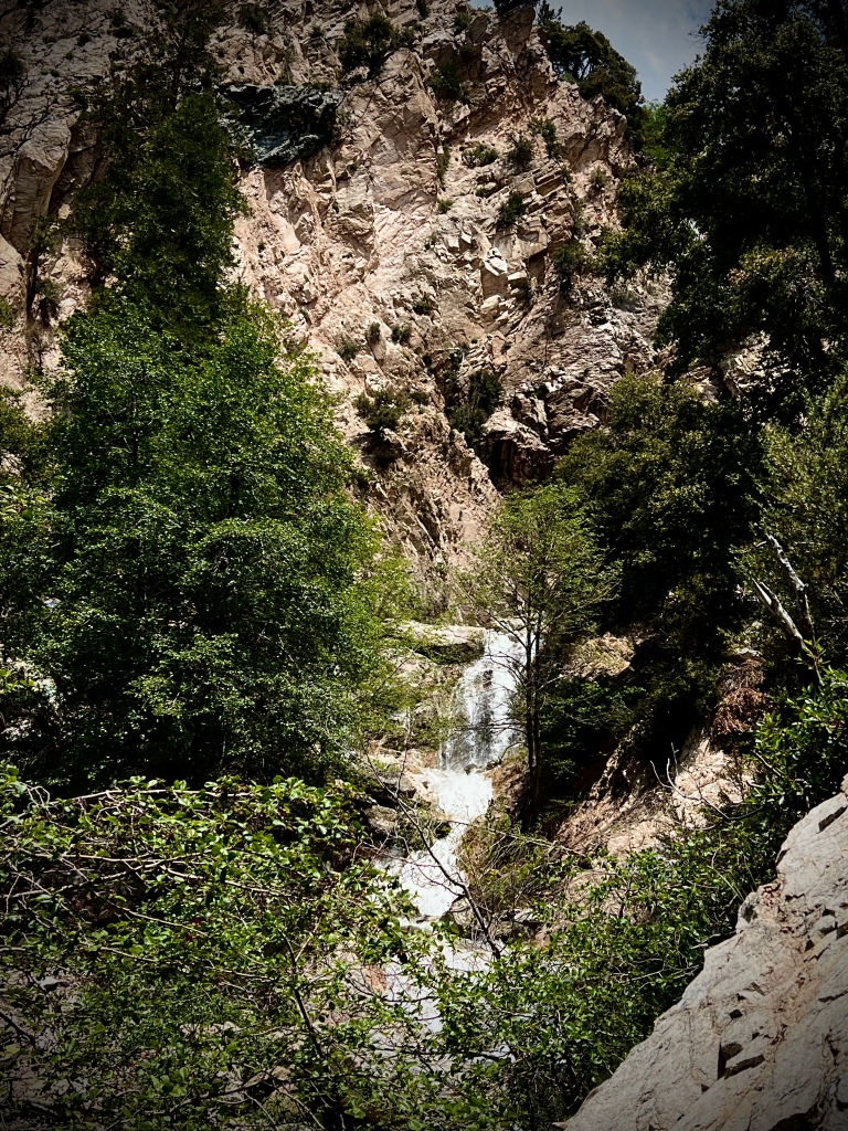
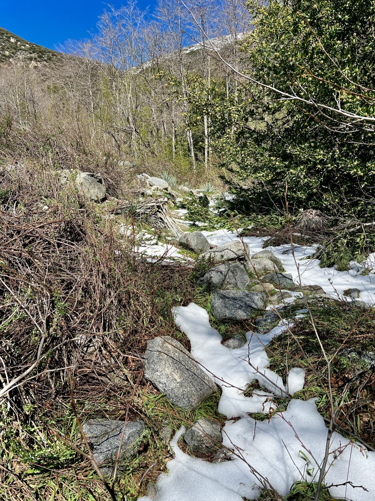
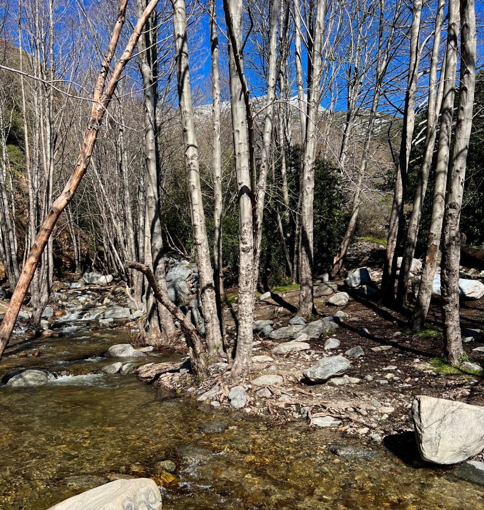
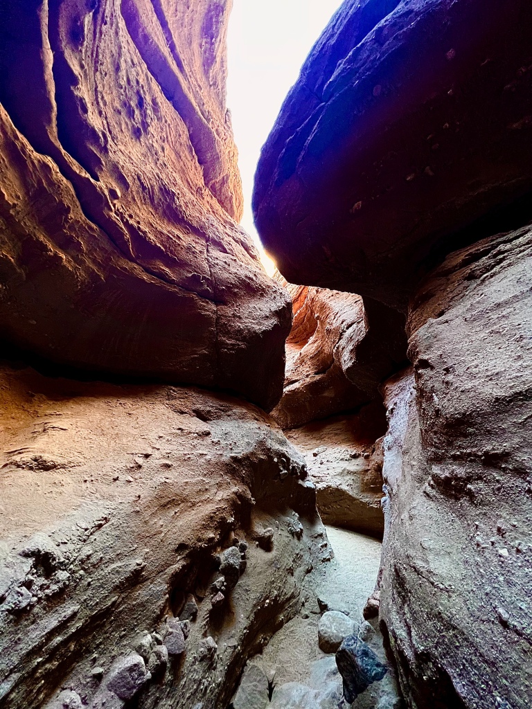
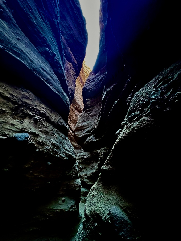
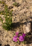
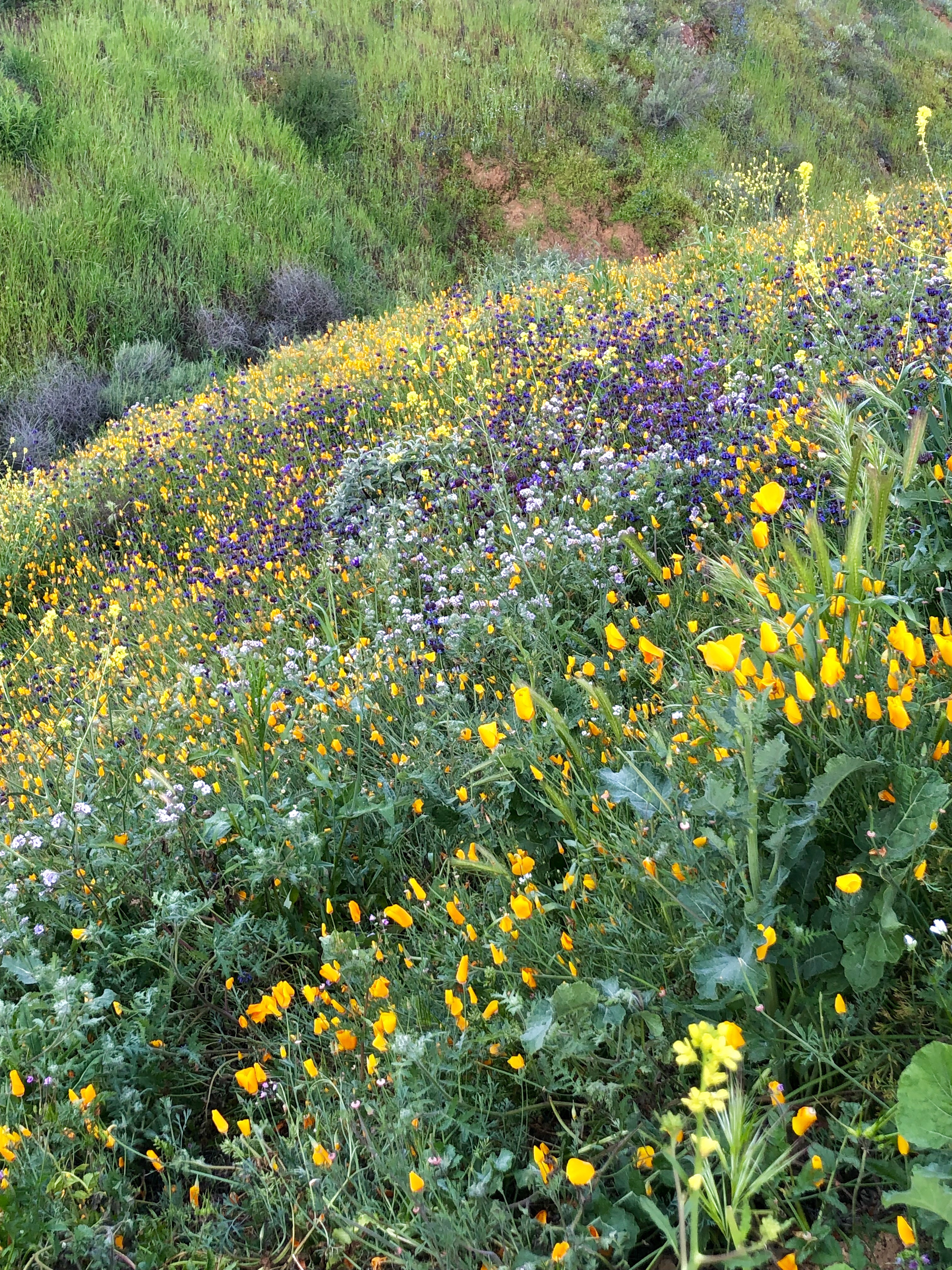
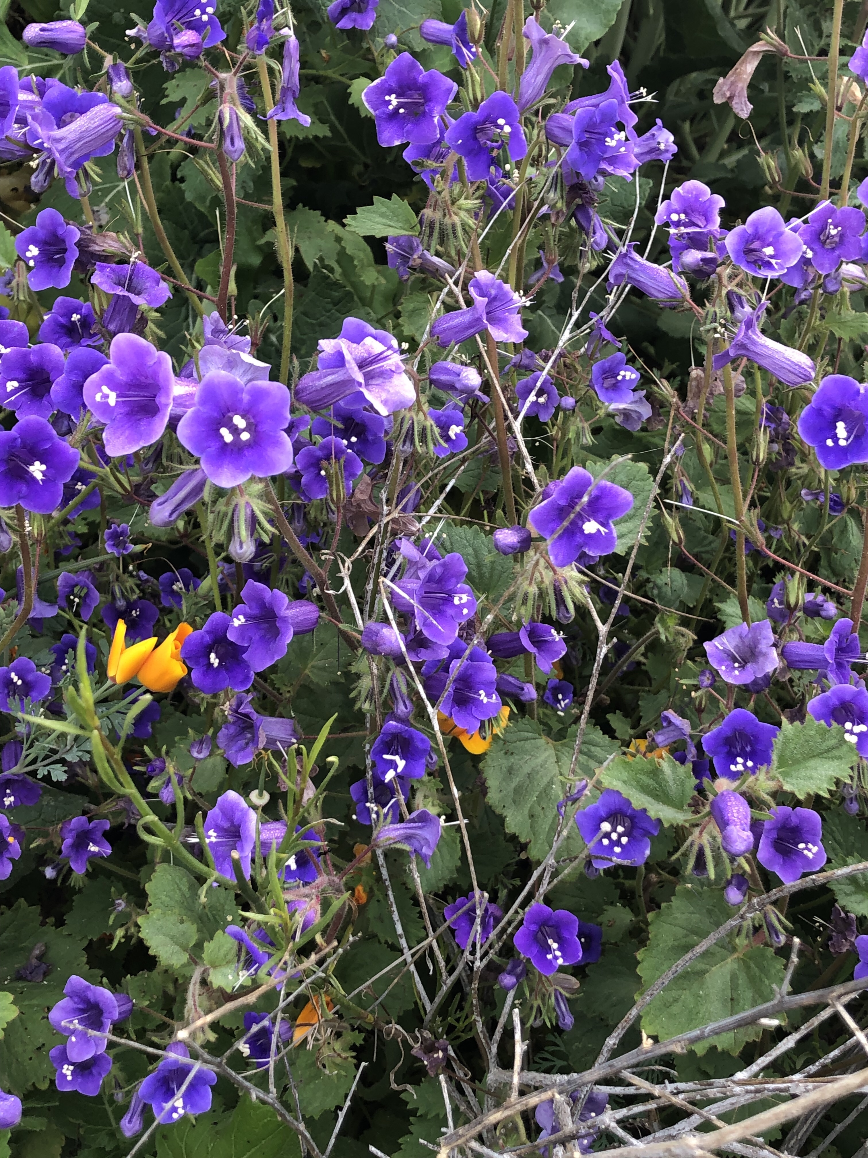
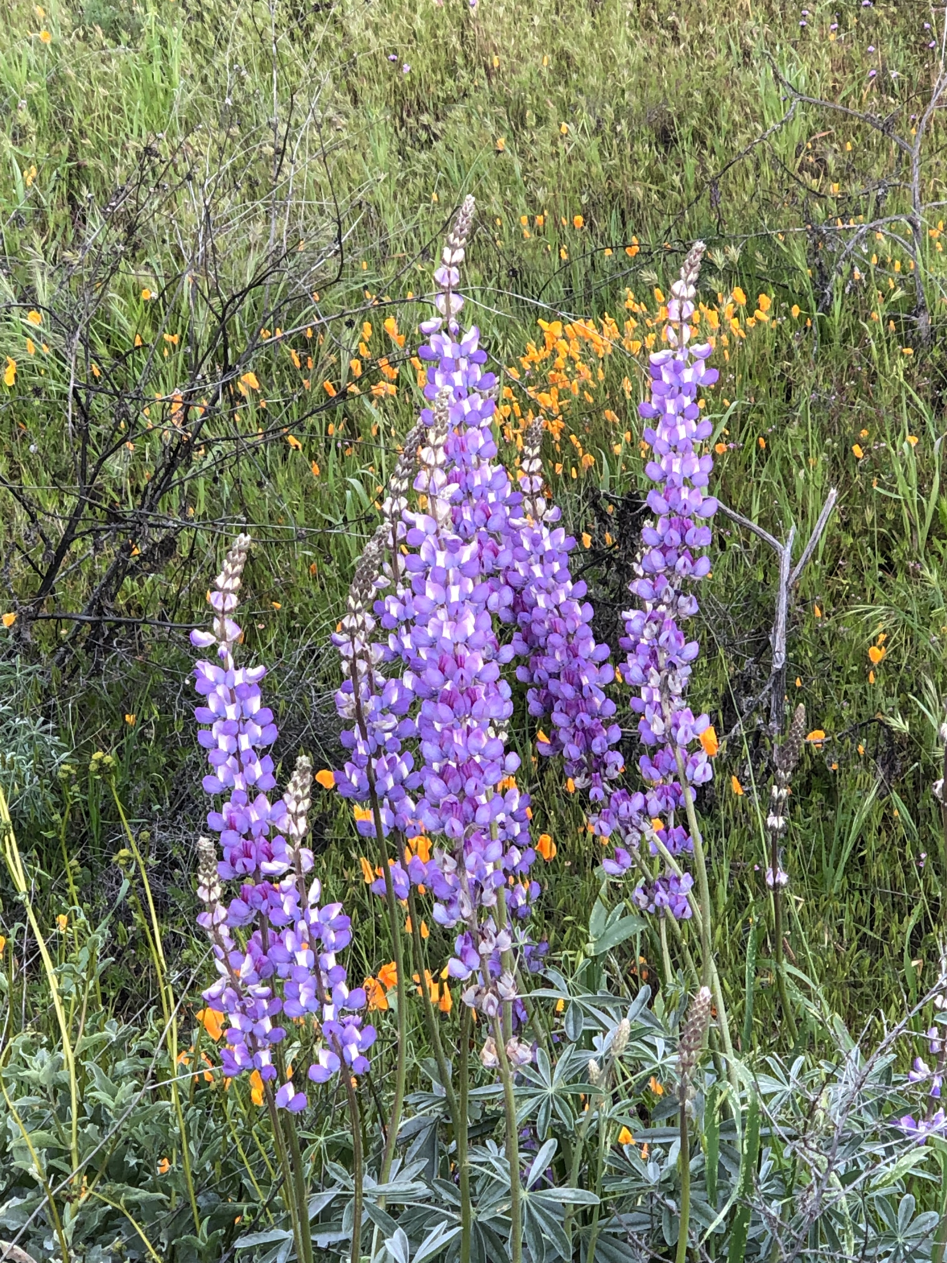
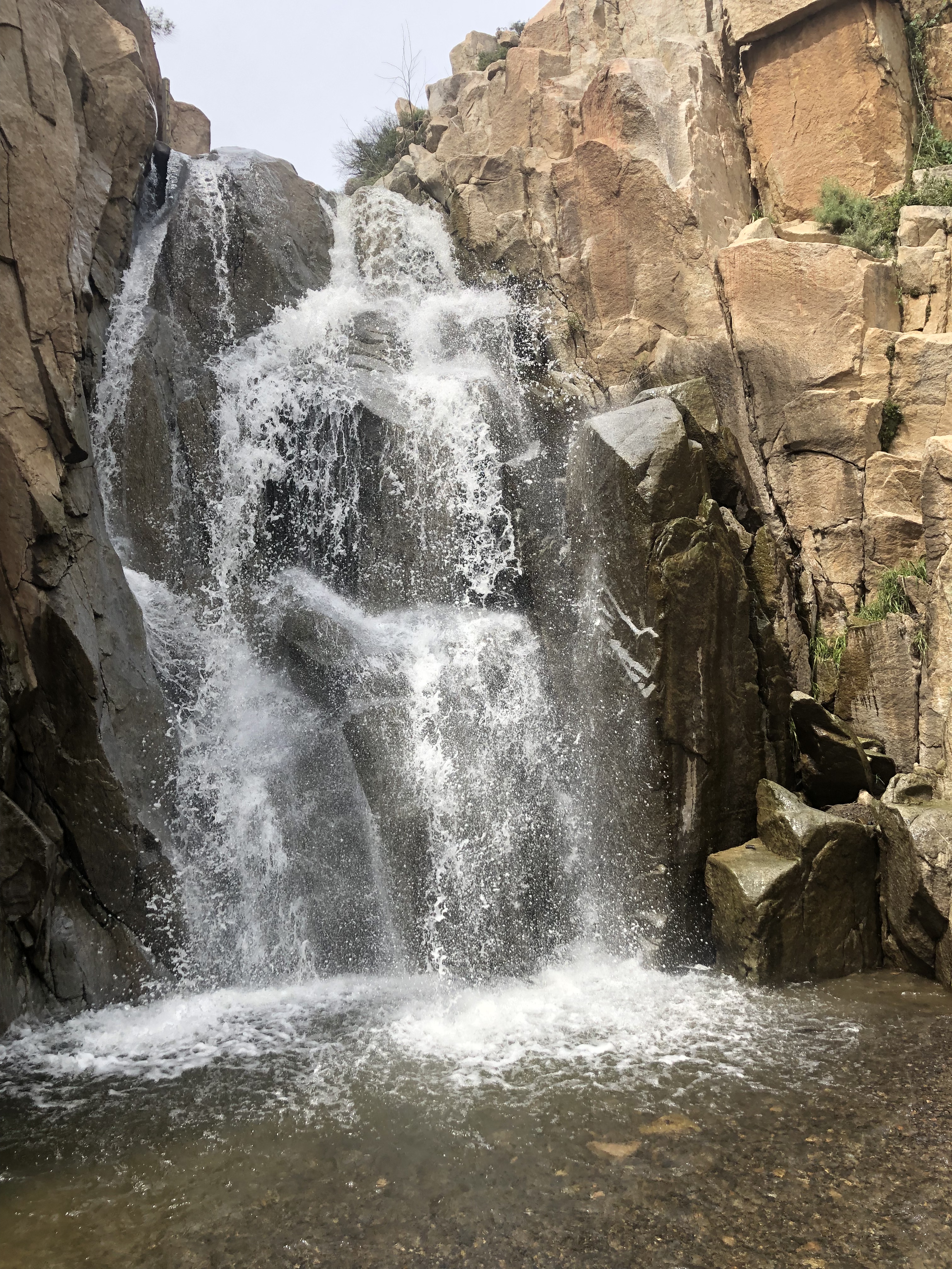
Enchanting it was indeed. The short hike a little more than a mile long rambles along Seeley Creek and through a delightful wooded area. We sort of stumbled upon the waterfall known as Seeley Falls or sometimes referred to as Heart Rock Falls. It is a little confusing as there are trails intersecting with each other and for the most part, unmarked.
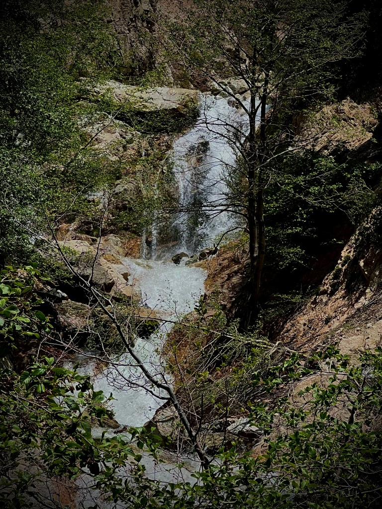
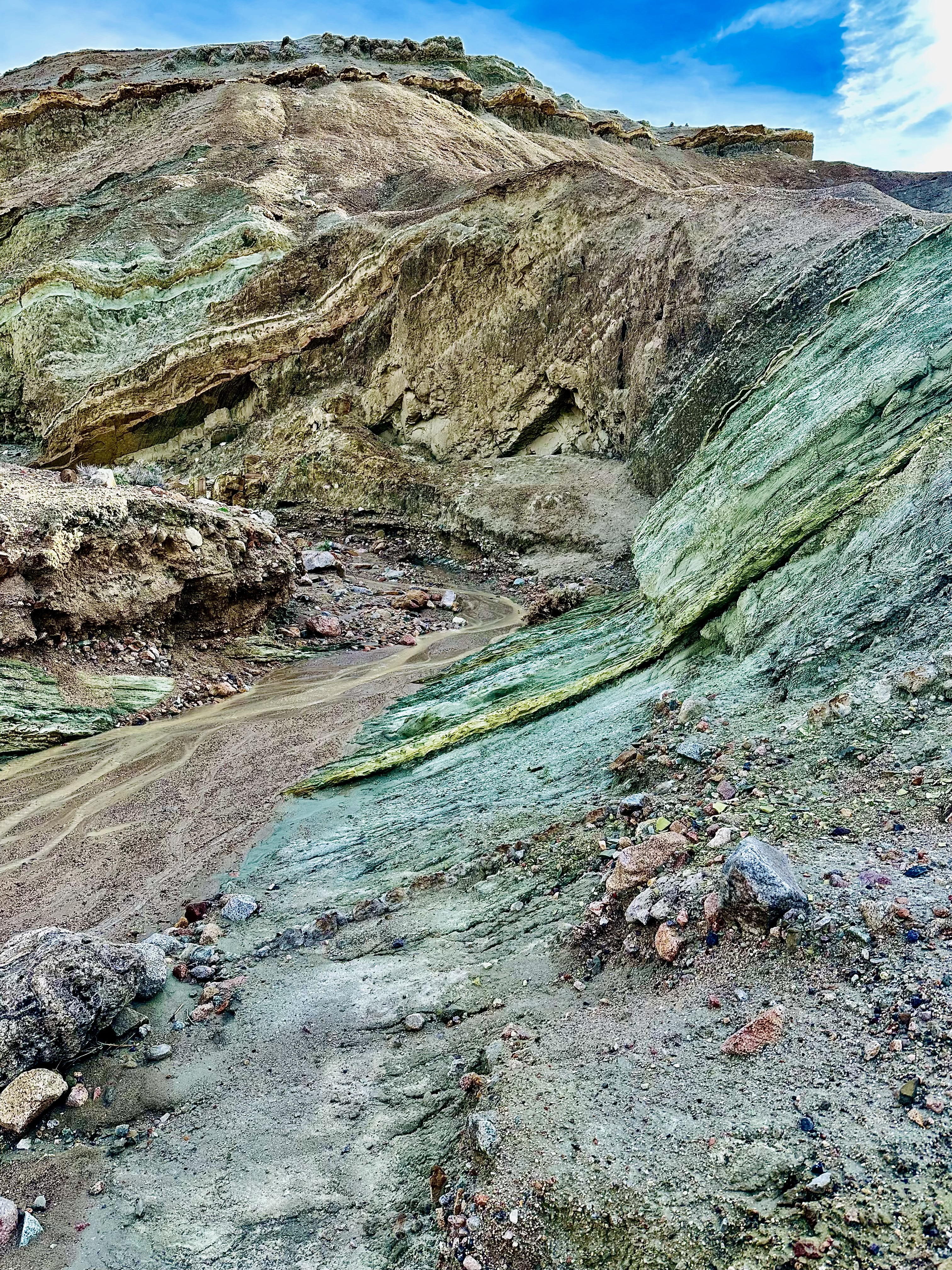
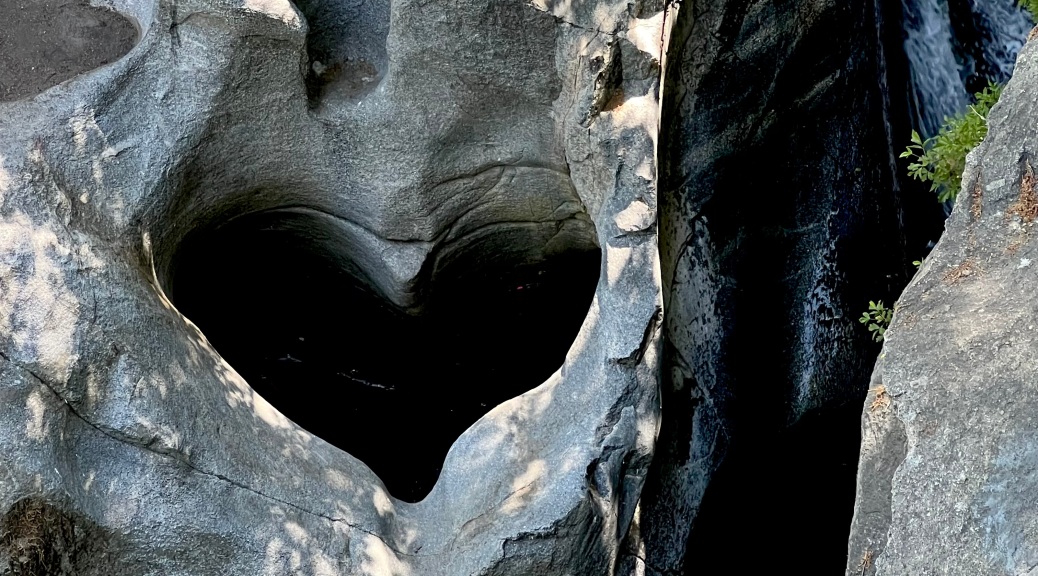
We found an inviting collecting pool just downstream from the falls, big slabs of rocks have collected the water forming the refreshing little pool. We explored around this spot but getting to the falls from here would not be easy, therefore we went back up the hill along the creek below. Look for a big hollowed out tree trunk which is around the best spot to view Heart Rock and the 20′ waterfall. Be cautious as this is a rock wall ledge.
Behold! A perfectly shaped heart beside a tranquil waterfall. Quite unique and framed by a gorgeous setting in the woods! We scampered around this spot exploring the rocky pool areas. Afterwards, we made our way along the creek from above through the woods.


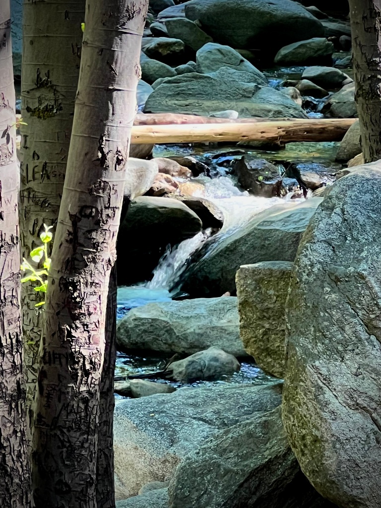

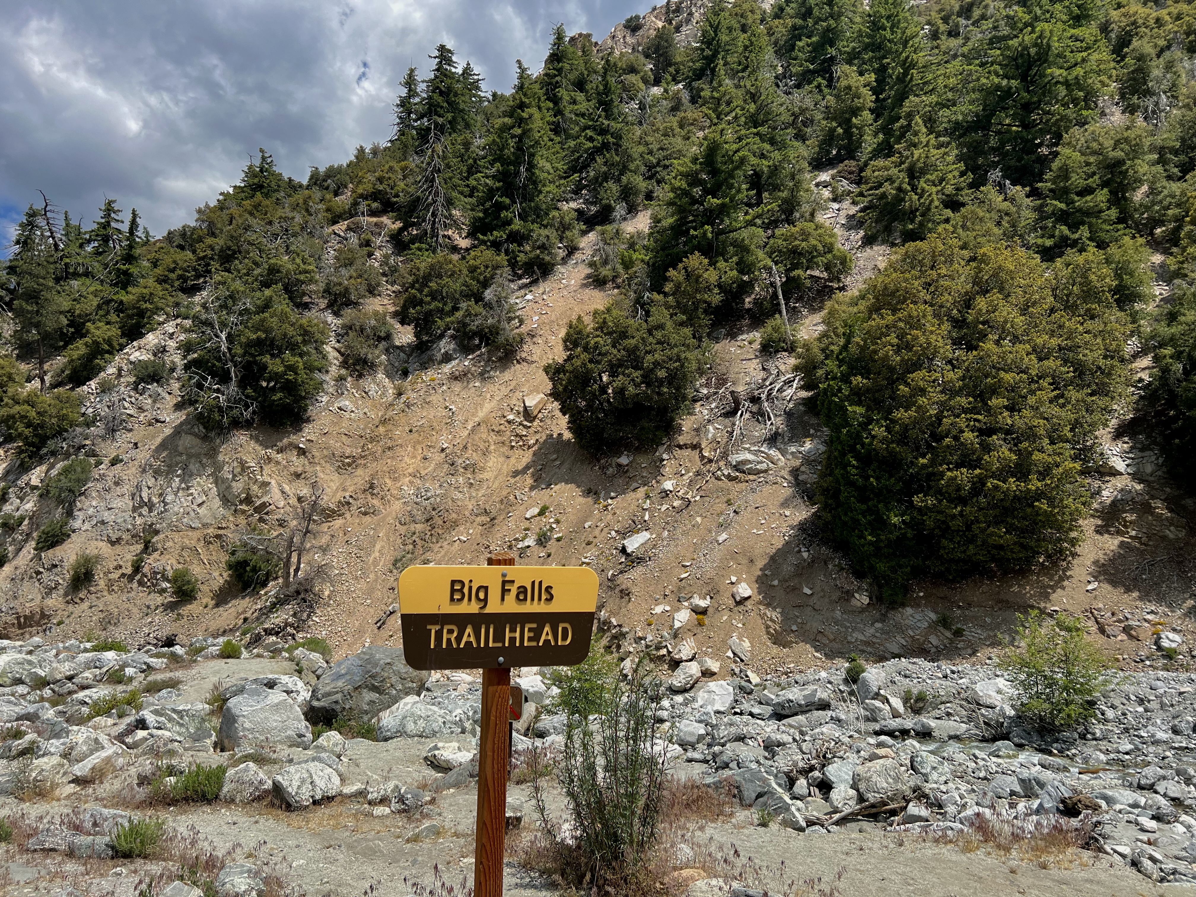
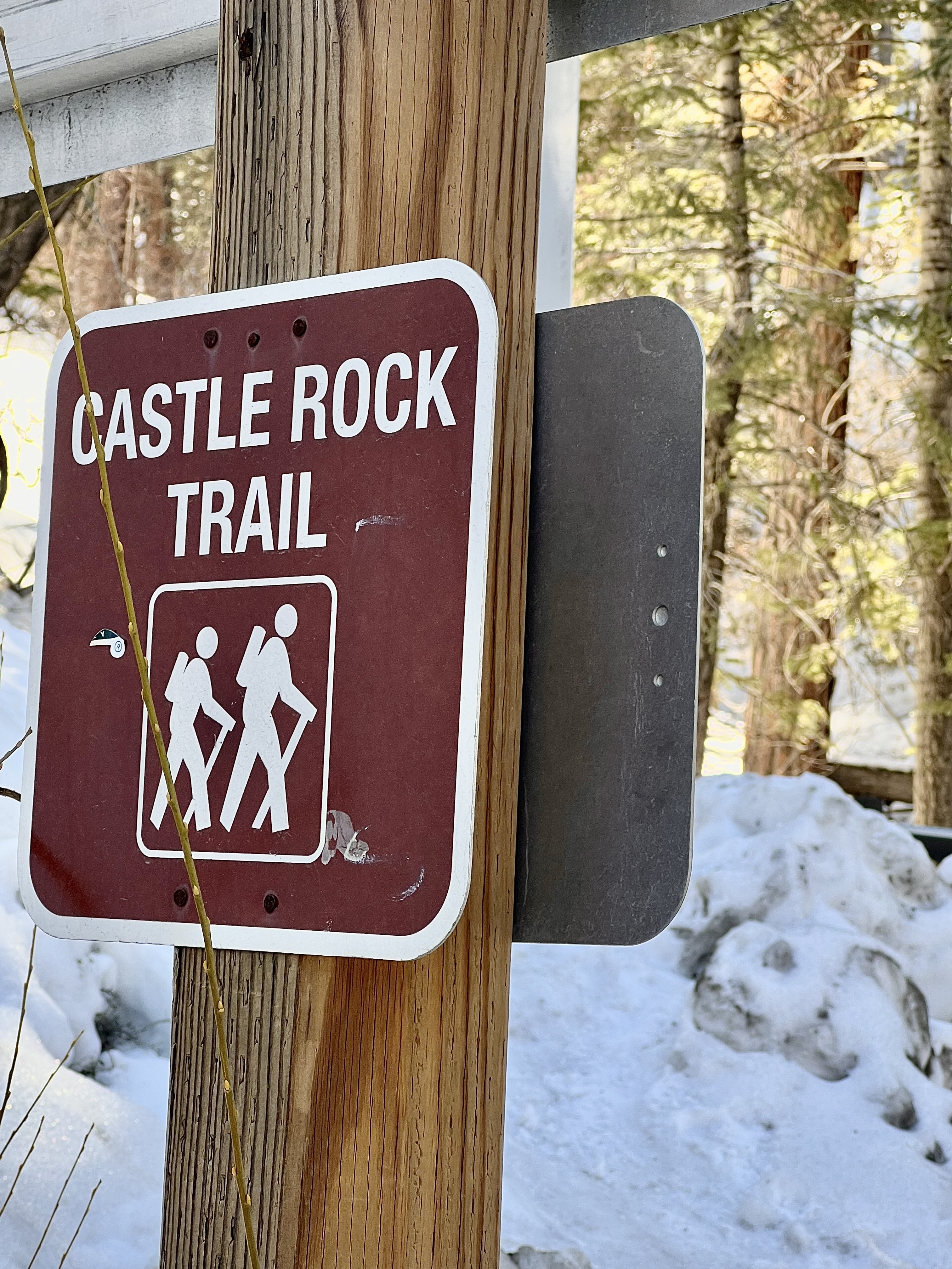
Parking can be found near the closed gate of Seeley Camp, which when we were there was teeming with youngsters enjoying the early Summer warm weather in the camp pool. Heart Rock Trail runs alongside the Camp and Seeley Creek part of it is black top and part of it is dirt.
As Heart Rock Falls, (actually ‘Seeley Falls’), is a seasonal waterfall, Spring and early Summer is the best time to go should one wish to see the falls flowing.
YouTube Channel
Heart Rock Trail
CLICK THE PIC!


Thanks for joining my Son Alec and I as we were ‘Pursuing Balance Through Adventure’ in the San Bernardino National Forest in search of waterfalls and natural wonders. That perfect heart certainly was fascinating and it was a beautiful spot to enjoy. There is always adventure just around the bend so stick with us. The easiest way to do that is to COMMENT, LIKE, FOLLOW and SHARE. Four Wheeling, hiking, backpacking, mountain biking, sailing, kayaking, SUP, canoeing, spelunking, peak bagging- so many adventures so little time. All of these activities, which add to the Balance that we strive for, are part of my Adventures in nature that make a difference to combat the routine of daily life that can be filled with time frames, deadlines, paperwork, chores, bills, even boredom and just plain responsibility. Sometimes we need to take off that pack with all of it’s pressure and responsibilities and pick up a daypack instead and let Nature and extraordinary outings nurture and heal us. Nature can do that. If you go up to the Menu above you will discover that PBTA ventures all over this great West of ours enjoying a variety of activities that I hope will provide inspiration for your next expedition. The Menu is categorized mostly by location. Each is a separate website and thus needs to be FOLLOWED independently. Your outing will need Adventure Wear and PBTA has you literally covered please go to SHOP APPAREL and order now.
Happy Trails-
Roger Jenkins
Pursuing Balance Through Adventure